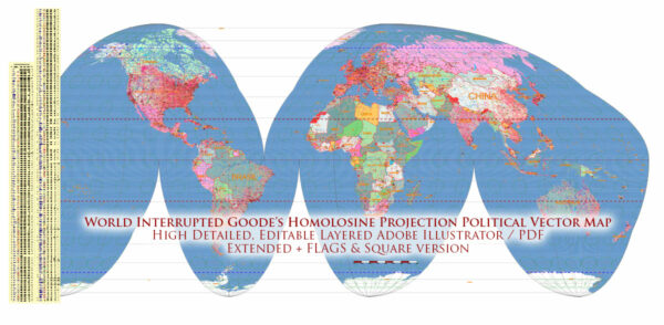
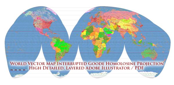
The Goode’s Homolosine Projection, also known as the Goode’s Homolosine Equal-Area Projection, is a map projection that was created by John Paul Goode, an American geographer and cartographer. This projection was designed to minimize distortions in the representation of the world’s landmasses, making it an “equal-area” projection. In an equal-area projection, the relative sizes of land areas on the map are preserved, although shapes and angles may be distorted.
Here is a brief history of the creation of Goode’s Homolosine Projection:
- Development and Introduction: John Paul Goode introduced the Homolosine Projection in 1923. It was part of his efforts to create more accurate world maps that could be used for educational and reference purposes. Goode was a prominent cartographer, and he made significant contributions to the field of map design.
- The Name: The term “Homolosine” is derived from two Greek words: “homos,” meaning “same,” and “sine,” referring to the mathematical sine function. The name suggests that areas on the map have the same size, which is a key feature of this projection.
- Projection Characteristics: Goode’s Homolosine Projection is characterized by its “interrupted” appearance, where the world map is divided into sections or “lobes” to minimize distortions. It achieves a balance between preserving area and reducing distortions of shapes and angles.
- Uses: Goode’s Homolosine Projection is often used for educational purposes and thematic mapping, particularly when it is important to accurately represent the relative sizes of continents and countries. It’s not as commonly used for navigation or general reference maps, where other projections like the Mercator Projection are more suitable.
The development of Goode’s Homolosine Projection represented a significant step forward in cartography, as it addressed some of the limitations of earlier map projections. However, like all map projections, it has its own strengths and weaknesses, and the choice of projection depends on the specific goals of the map and the trade-offs between preserving various properties like area, shape, distance, and direction.


 Author: Kirill Shrayber, Ph.D. FRGS