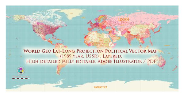
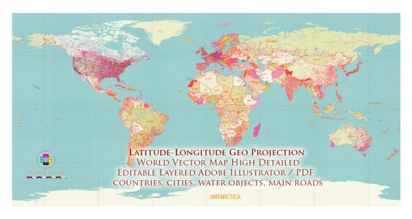
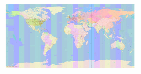
The creation and development of geographical coordinate systems based on latitude and longitude, as well as the projection methods used to represent the Earth’s surface on flat maps, have a long and complex history. Here’s an overview of their evolution:
- Early Concepts: The use of latitude and longitude to describe locations on the Earth dates back to ancient times. The Greeks, for example, made early attempts to describe the Earth using spherical coordinates. However, these early systems were often rudimentary and lacked the precision and standardized measurement we have today.
- Ptolemy’s Geographia: In the 2nd century AD, Claudius Ptolemy, a Greek geographer and mathematician, authored the “Geographia.” It was a significant work that included a detailed description of the Earth’s geography and a system of coordinates based on latitude and longitude. Ptolemy’s work influenced the development of geographical coordinate systems for centuries.
- Age of Exploration: During the Age of Exploration in the 15th and 16th centuries, European explorers and cartographers contributed to the development of modern mapmaking techniques. They refined the use of latitude and longitude, and maps began to represent the Earth’s surface more accurately.
- Mercator Projection: In 1569, Gerardus Mercator, a Flemish cartographer, introduced the Mercator projection. This projection, which is still widely used today, is a cylindrical projection that preserves angles and makes navigation easier. It’s particularly useful for marine navigation but distorts the size of landmasses as they move away from the equator.
- Development of Modern Coordinate Systems: Over time, various coordinate systems and datums were developed to establish a global reference frame. The World Geodetic System (WGS), established by the U.S. Department of Defense, is one such system widely used for global positioning and mapping. The most recent version, WGS 84, is used in GPS and many modern mapping applications.
- Advanced Map Projections: Cartographers and geographers have developed a wide range of map projections to address the limitations of the Mercator projection and other early methods. These projections aim to minimize distortions in areas, distances, and directions, depending on the specific use case.
- Advancements in Technology: In recent decades, advancements in computing technology, remote sensing, and satellite technology have greatly improved our ability to create accurate and detailed maps and geospatial data. Geographic Information Systems (GIS) have become essential tools for mapping and analyzing geographic data.
The history of latitude and longitude coordinate systems and map projections is a vast and intricate subject, reflecting centuries of human ingenuity and evolving technology. Today, with the aid of advanced geospatial technology, we have highly accurate methods for representing and navigating the Earth’s surface, but the development of these systems and methods is an ongoing process as we seek to improve accuracy and address the challenges of representing a three-dimensional Earth on two-dimensional maps.


 Author: Kirill Shrayber, Ph.D. FRGS