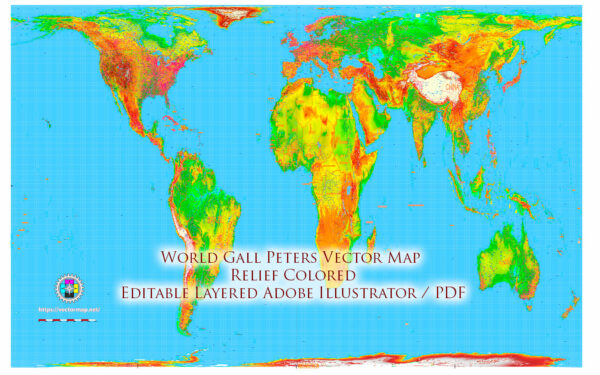
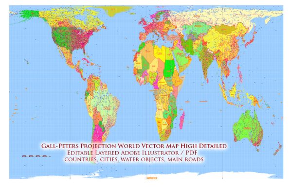
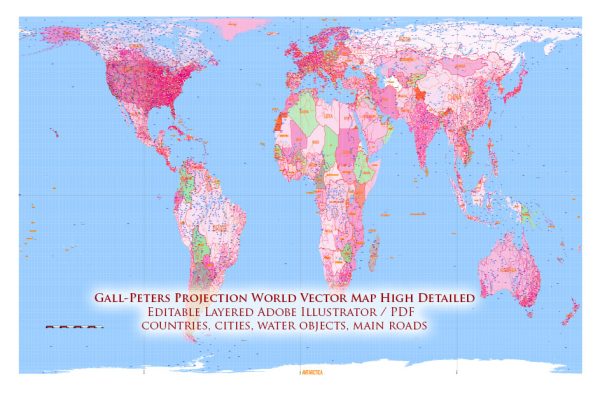
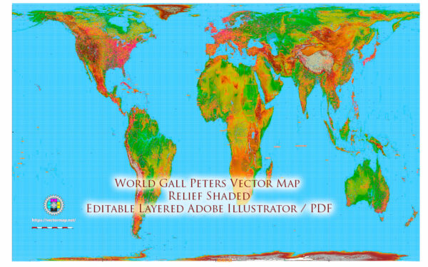
The Gall-Peters projection is a world map projection that was first presented by James Gall in 1855 and later independently by Arno Peters in 1974. It is an equal-area projection, which means that it accurately represents the relative sizes of landmasses on Earth. This is in contrast to some other map projections, like the Mercator projection, which distort the sizes of land areas as they move away from the equator.
The Gall-Peters projection gained significant attention in the 20th century as it addressed the issue of size distortion, particularly for continents near the poles. The projection is often cited in discussions about the misrepresentation of landmass sizes in traditional world maps. On a Gall-Peters map, landmasses near the equator do not appear overly inflated, as is the case on the Mercator projection, which has been criticized for its Eurocentric bias.
The Gall-Peters projection, however, has also been criticized for its distortions in terms of shape and orientation. It preserves area but distorts the shapes of countries and their relative orientations. Consequently, it is not a perfect solution, and cartographers often have to make trade-offs when selecting a map projection depending on the specific purpose of the map.
The Gall-Peters projection’s proponents argue that it is a more socially and politically equitable representation of the world, as it gives fairer representation to less economically and politically dominant regions. The projection has been used in various educational and advocacy contexts to challenge traditional world maps and their impact on perceptions of the world. It remains a topic of discussion in cartography and geographic education.


 Author: Kirill Shrayber, Ph.D. FRGS