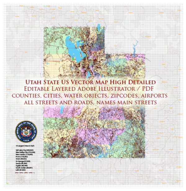
Utah, located in the western United States, is renowned for its diverse and spectacular geology. The state’s geology is a result of millions of years of geological processes, including sedimentation, mountain-building, erosion, and volcanic activity. Here is a brief description of some of the key geological features and formations in Utah:
- Rocky Mountains: The eastern part of Utah is part of the Rocky Mountains, a vast mountain range that extends from Canada to New Mexico. The Uinta Mountains in northeastern Utah are a prominent subrange of the Rockies. These mountains are characterized by rugged peaks, alpine lakes, and extensive forests.
- Colorado Plateau: The western and southern parts of Utah are part of the Colorado Plateau, a high desert region known for its unique geology. This region includes iconic features such as canyons, arches, plateaus, and mesas. Some of the most famous national parks in Utah are located in the Colorado Plateau, including Arches, Canyonlands, and Zion.
- Great Salt Lake: The Great Salt Lake, in the northwestern part of Utah, is the largest saltwater lake in the Western Hemisphere. It is a remnant of the ancient Lake Bonneville, which covered a much larger area during the last Ice Age. The lake’s salinity is significantly higher than that of the ocean.
- Wasatch Range: The Wasatch Range runs north-south along the western edge of Utah and forms the eastern boundary of the Salt Lake City metropolitan area. These mountains are known for their steep canyons and provide opportunities for outdoor recreation, including skiing in the winter.
- Basin and Range Province: The western portion of Utah is part of the Basin and Range Province, characterized by a series of north-south trending mountain ranges and valleys. This region includes the Great Basin, which is a large area of internally drained watersheds. The west desert of Utah is part of the Great Basin.
- Monoclines: Utah is home to several prominent geological monoclines, such as the Waterpocket Fold in Capitol Reef National Park. Monoclines are large, step-like folds in rock layers that create dramatic topography.
- Volcanic Features: In southwestern Utah, you can find volcanic features like the Markagunt Plateau, which is part of the larger Colorado Plateau volcanic field. This area has numerous cinder cones, lava flows, and unique volcanic formations.
- Utah’s Five National Parks: Utah is famous for its “Mighty 5” national parks, which showcase the state’s stunning geological diversity. These parks are Arches, Canyonlands, Capitol Reef, Bryce Canyon, and Zion. Each park offers its own distinctive landscapes and rock formations, making them popular destinations for geology enthusiasts and outdoor enthusiasts alike.
Overall, Utah’s geology is a testament to the Earth’s dynamic history, with a wide range of geological features that have been shaped by a variety of natural processes over millions of years. It’s a captivating destination for those interested in exploring the wonders of the natural world.


 Author: Kirill Shrayber, Ph.D.