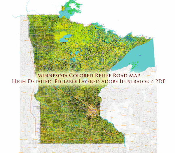
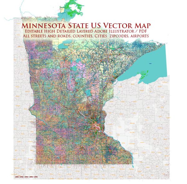
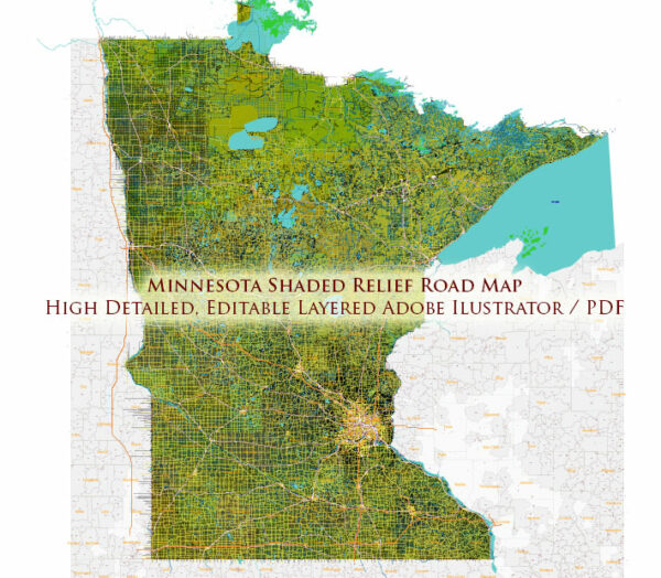
Minnesota is home to a wide range of cities and towns. Here is a list of some of the notable cities and towns in the state:
- Minneapolis – The largest city in Minnesota and part of the Twin Cities metropolitan area.
- St. Paul – The state capital and the second-largest city in Minnesota, also part of the Twin Cities.
- Rochester – Known for the Mayo Clinic, one of the world’s top medical institutions.
- Duluth – A major port city on Lake Superior and a popular tourist destination.
- Bloomington – Home to the Mall of America, one of the largest shopping malls in the United States.
- Brooklyn Park – A northern suburb of Minneapolis.
- Plymouth – A western suburb of Minneapolis.
- St. Cloud – Located in central Minnesota, known for its higher education institutions.
- Eagan – A southern suburb of St. Paul.
- Woodbury – Another suburb in the Twin Cities metro area.
- Maple Grove – A rapidly growing suburb to the northwest of Minneapolis.
- Eden Prairie – A suburb in the southwest of the Twin Cities.
- Edina – A well-to-do suburb located just south of Minneapolis.
- Burnsville – South of Minneapolis, known for its performing arts center.
- Minnetonka – A suburban city on the western side of Minneapolis.
- Moorhead – Located on the western border of Minnesota near Fargo, North Dakota.
- Mankato – A city in southern Minnesota, home to Minnesota State University, Mankato.
- Anoka – Known as the “Halloween Capital of the World.”
- Stillwater – A historic city on the St. Croix River.
- Winona – Located along the Mississippi River, known for its scenic beauty.
This list is not exhaustive, as Minnesota has numerous cities, towns, and smaller communities across the state. Each of these places has its unique character, history, and attractions.


 Author: Kirill Shrayber, Ph.D. FRGS