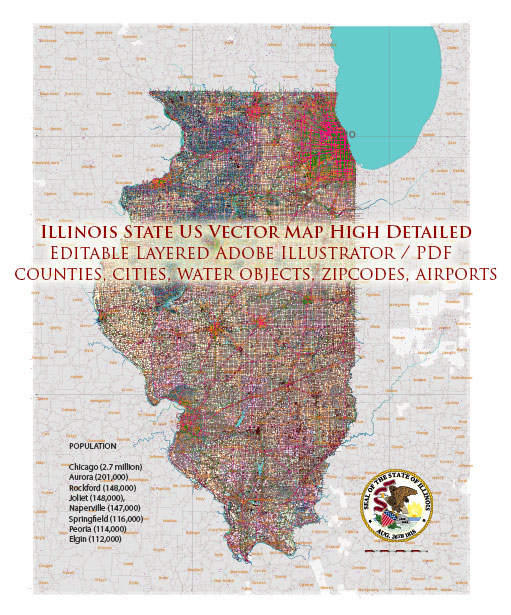
Illinois is a state in the United States with numerous cities and towns. Here are some of the most notable cities and towns in Illinois:
- Chicago – The largest city in Illinois and the third-largest city in the United States. It’s known for its vibrant cultural scene, diverse neighborhoods, and iconic architecture.
- Aurora – The second-largest city in Illinois, located in the Chicago metropolitan area.
- Rockford – A city in northern Illinois known for its manufacturing and aerospace industries.
- Joliet – A city southwest of Chicago, known for its historical sites and cultural attractions.
- Naperville – A suburb of Chicago, often ranked as one of the best places to live in the United States.
- Springfield – The state capital of Illinois and home to many historical sites, including the Abraham Lincoln Presidential Library and Museum.
- Peoria – A city along the Illinois River, known for its healthcare and manufacturing industries.
- Elgin – A city located in the Chicago metropolitan area with a historic downtown and cultural attractions.
- Waukegan – A city located on the western shore of Lake Michigan, known for its industrial history and Lake County Forest Preserves.
- Champaign – Home to the University of Illinois and known for its contributions to education and technology.
- Bloomington – Another city in central Illinois, home to Illinois State University and Illinois Wesleyan University.
- Decatur – A city with a strong industrial heritage located in central Illinois.
- Evanston – A suburb of Chicago known for its cultural diversity and Northwestern University.
- Oak Park – A suburb of Chicago with a rich architectural history and home to the famous architect Frank Lloyd Wright.
- Skokie – A diverse suburb of Chicago known for its cultural and recreational offerings.
- Des Plaines – Located near O’Hare International Airport and known for its transportation connections.
- Wheaton – A suburb of Chicago with a strong sense of community and home to Wheaton College.
- Quincy – A city located in western Illinois along the Mississippi River.
- Alton – A historic city located near the confluence of the Mississippi and Missouri Rivers.
- Carbondale – Home to Southern Illinois University and known for its outdoor recreational opportunities.
These are just a few of the many cities and towns in Illinois, each with its own unique character and attractions.


 Author: Kirill Shrayber, Ph.D. FRGS