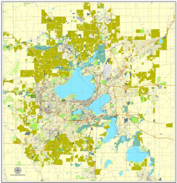
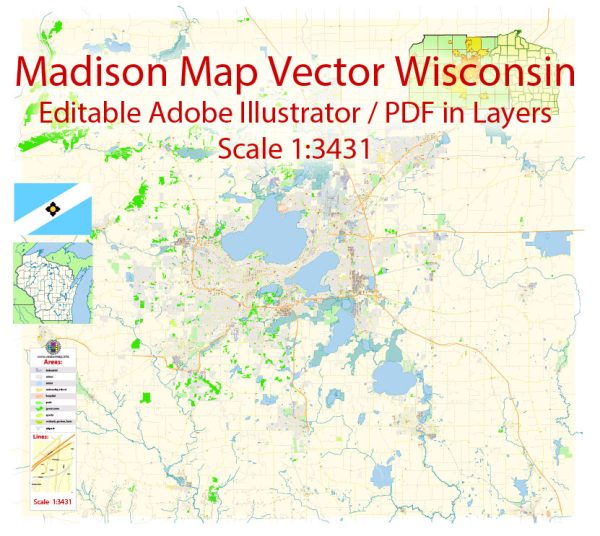
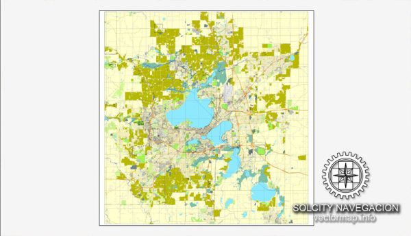
Madison, Wisconsin, is the capital city of the state and is located in the southern part of the state. It is situated between two prominent lakes, Lake Mendota and Lake Monona. These lakes are significant water resources for the city and the surrounding region.
- Lake Mendota: Lake Mendota is the largest of the four lakes in the Yahara chain of lakes in Dane County, Wisconsin. It is located to the north of the city and is a popular destination for boating, fishing, swimming, and other recreational activities. The lake is also vital for the city’s drinking water supply.
- Lake Monona: Lake Monona is another important lake in the Yahara chain of lakes and is situated to the southeast of Madison. Like Lake Mendota, Lake Monona is used for recreation and as a water source.
- Yahara River: The Yahara River connects the lakes in the Yahara chain, and it runs through Madison. It is essential for water transportation and also serves as a popular location for outdoor activities like canoeing and kayaking.
- Bridges: Madison has numerous bridges that cross the Yahara River and connect various parts of the city. Some notable bridges include:
- John Nolen Drive Bridge: This is a major bridge that connects the downtown area to the southern parts of Madison, spanning the Yahara River.
- Monona Terrace Community and Convention Center Pedestrian Bridge: This pedestrian bridge connects the Monona Terrace to downtown Madison and offers scenic views of Lake Monona.
- Tenney Park Bridge: This bridge connects the Tenney Park area to the northern part of Madison, crossing the Yahara River.
- Beltline Bridge: The Beltline is a major highway that encircles Madison, and it has several bridges that cross over the Yahara River and various other water bodies within the city.
These water resources and bridges play a crucial role in the transportation, recreation, and overall quality of life in Madison, Wisconsin. They also contribute to the city’s scenic beauty and serve as important landmarks in the community.


 Author: Kirill Shrayber, Ph.D. FRGS