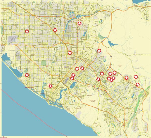
The transportation system in the southeast area of Los Angeles, which includes Orange County, California, is well-developed and includes a variety of options to meet the transportation needs of the region’s residents and visitors. Here are some key elements of the transportation system in this area:
- Highways and Roads: Orange County is served by an extensive network of highways and roads. Major freeways such as Interstate 5 (I-5), Interstate 405 (I-405), and California State Route 55 (SR-55) provide essential transportation links. These highways connect Orange County to Los Angeles and other surrounding areas.
- Public Transit: The Orange County Transportation Authority (OCTA) is the primary agency responsible for public transportation in the region. OCTA operates bus services throughout the county, and they have been working to expand and improve public transit options. They also operate the Metrolink commuter rail system, connecting Orange County to Los Angeles and other nearby counties.
- Metrolink: Metrolink is a commuter rail system that serves Orange County. It provides a convenient way for residents to travel to Los Angeles and other parts of Southern California. The Orange County Line and the Inland Empire-Orange County Line are two of the Metrolink lines that run through the county.
- Amtrak: Amtrak also provides passenger rail services in Orange County. The Pacific Surfliner is one of Amtrak’s routes that serves the area, connecting San Diego to Los Angeles and beyond.
- Biking and Walking: Many cities in Orange County are working to improve their pedestrian and cycling infrastructure. You’ll find bike lanes, bike-sharing programs, and pedestrian-friendly areas in various cities. Huntington Beach, for example, is known for its bike-friendly culture.
- Airports: Orange County is served by John Wayne Airport (SNA), which is a major airport providing domestic and international flights. This airport offers a convenient option for air travel in the region.
- Rideshare and Taxis: Services like Uber and Lyft are widely available in Orange County, offering convenient transportation options for residents and visitors.
- Carpool Lanes: The region has carpool lanes on its freeways, encouraging ridesharing to reduce traffic congestion.
- Toll Roads: There are also several toll roads in Orange County, such as the 73 Toll Road, 133 Toll Road, and 241 Toll Road. These roads offer a faster route for those willing to pay a toll.
- Future Transportation Projects: Orange County continues to invest in transportation infrastructure. There are ongoing and planned projects aimed at reducing traffic congestion and improving public transit options.
The transportation system in the southeast area of Los Angeles, which includes Orange County, is designed to provide residents and visitors with various transportation choices, whether they prefer to drive, take public transit, cycle, or walk. It is an essential part of the region’s infrastructure, given its population and proximity to Los Angeles.


 Author: Kirill Shrayber, Ph.D. FRGS