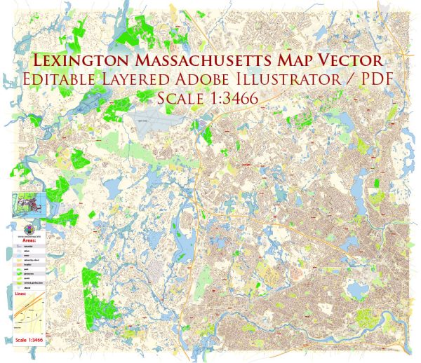
Lexington, Massachusetts, is a historic town located in Middlesex County, about 11 miles northwest of Boston. It is known for its rich history, particularly its role in the American Revolutionary War. The town’s architecture reflects this history, with a mix of styles spanning several centuries. Here’s a brief description of the architecture in Lexington:
- Colonial and Federal Period: Lexington boasts many well-preserved colonial and federal-style buildings. These structures date back to the 18th and early 19th centuries. They typically feature elements such as steep pitched roofs, clapboard siding, symmetrical facades, and simple yet elegant designs. The Hancock-Clarke House, built in 1737, is a prime example of this architectural style and is open to the public as a museum.
- Greek Revival: In the early to mid-19th century, Greek Revival architecture became popular in the United States, and Lexington saw its fair share of buildings influenced by this style. Greek Revival buildings are characterized by columns, pediments, and symmetrical facades. The Munroe Tavern, constructed in 1735 and later renovated in the Greek Revival style, is one such example.
- Victorian Era: During the Victorian era, which lasted from the mid-19th century to the early 20th century, various architectural styles, including Italianate, Second Empire, and Queen Anne, became prevalent. You can find Victorian-era homes and buildings in Lexington with ornate detailing, bay windows, and vibrant color schemes.
- New England Vernacular: In addition to these historic styles, Lexington also has a number of simple, vernacular structures that reflect the region’s rural heritage. These buildings are often modest in design, featuring gable roofs, wooden siding, and practical layouts.
- Modern and Contemporary: While Lexington’s architectural heritage is deeply rooted in history, the town has also seen the development of modern and contemporary structures. These buildings often incorporate elements of New England tradition while embracing more current architectural trends and technologies.
- Preservation: Lexington has a strong commitment to preserving its historic architecture, and many structures are protected by local historic preservation organizations and regulations.
Overall, Lexington’s architectural landscape reflects its long history and commitment to preserving its heritage while adapting to the needs and tastes of the modern era. This combination of historical charm and contemporary elements makes it a unique and visually appealing place to explore.


 Author: Kirill Shrayber, Ph.D. FRGS