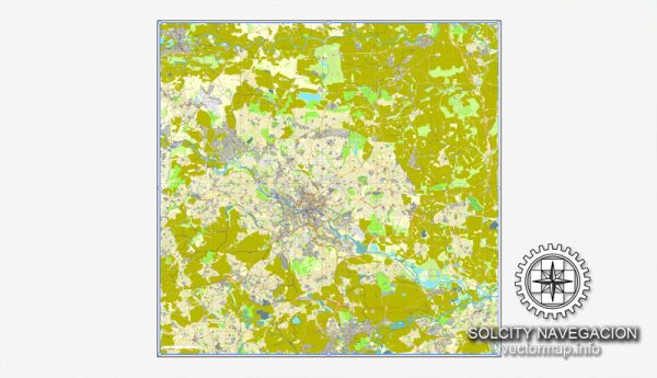
The transport system in Leeds, UK, is well-developed and consists of various modes of transportation, including roads, railways, buses, and cycling infrastructure. Leeds is a major city in West Yorkshire and serves as a transportation hub for the region. Here are some key aspects of the transportation system in Leeds:
- Road Network:
- The M1 and M62 motorways intersect near Leeds, making it easily accessible by car from other major cities in the UK.
- The city is encircled by the Leeds Outer Ring Road, which helps manage traffic and provides access to different parts of the city.
- Public Transportation:
- Buses: Leeds has an extensive bus network operated by different companies, including First Bus and Arriva. Buses serve the city center and surrounding areas.
- Trains: Leeds Railway Station is one of the busiest in the UK, providing regular services to various destinations, including London, Manchester, and York.
- Trams: The city is working on reintroducing a tram system to improve public transportation.
- Cycling:
- Leeds is investing in cycling infrastructure to promote sustainable transportation. There are dedicated bike lanes and bike-sharing schemes, such as the Leeds City Council’s “CityConnect” project.
- Walking:
- The city center of Leeds is pedestrian-friendly, with various shops, restaurants, and cultural attractions within walking distance.
- Airport:
- Leeds Bradford Airport, located just outside the city, provides domestic and international flights.
- Park and Ride:
- Leeds offers several park and ride facilities where commuters can leave their cars and continue their journey into the city center using public transportation.
- Taxis and Ride-Sharing:
- Taxis and ride-sharing services like Uber are readily available in Leeds, offering convenient options for getting around the city.
- Cycle Superhighway:
- Leeds is developing a Cycle Superhighway, which aims to create safe and efficient cycling routes throughout the city.
- Transport Initiatives:
- Leeds has been taking steps to reduce air pollution by implementing low-emission zones and encouraging the use of electric vehicles.
- Traffic Management:
- Leeds City Council employs various traffic management measures, including congestion pricing in some areas, to manage traffic and reduce congestion.
It’s worth noting that the transportation system in Leeds is continually evolving, with ongoing efforts to improve public transportation, reduce congestion, and promote sustainable modes of travel. Travelers can access up-to-date information on routes, timetables, and service updates through the Leeds City Council website and various transportation providers.


 Author: Kirill Shrayber, Ph.D.