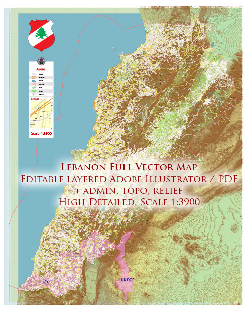
Lebanon’s geology is complex and diverse due to its location at the meeting point of several tectonic plates. The country is part of the larger region known as the Levant, and its geological history is shaped by the collision and interaction of the African and Arabian Plates with the Eurasian Plate. Here is a brief description of Lebanon’s geology:
- Tectonic Setting: Lebanon is situated at the boundary of the African, Arabian, and Eurasian Plates. The African Plate is pushing northward against the Eurasian Plate, resulting in the ongoing convergence and deformation of the region.
- Mountain Ranges: The most prominent geological feature of Lebanon is its mountain ranges. The Mount Lebanon Range runs along the western part of the country, with the highest peak being Qurnat as Sawda, standing at over 10,131 feet (3,088 meters) above sea level. This range is primarily composed of limestone and other sedimentary rocks.
- Antilebanon Mountains: To the east of Mount Lebanon, there are the Anti-Lebanon Mountains, which extend into Syria. These mountains are also formed from sedimentary rocks, primarily limestone.
- Bekaa Valley: Situated between the Mount Lebanon Range and the Anti-Lebanon Mountains, the Bekaa Valley is a prominent geological feature in Lebanon. It is a tectonic rift valley formed by the separation of the Mount Lebanon and Anti-Lebanon ranges.
- Geological History: The rocks in Lebanon date back to various geological periods, including the Paleozoic, Mesozoic, and Cenozoic eras. Sedimentary rocks, including limestone, sandstone, and shale, are prevalent throughout the country. Fossils of marine life can be found in these sedimentary rocks, indicating the region’s history as a shallow sea during various periods.
- Earthquakes: Lebanon is prone to seismic activity due to its location near major tectonic plate boundaries. Earthquakes have periodically affected the country throughout its history.
- Natural Resources: Lebanon has limited mineral resources, with some small-scale mining operations for limestone, salt, and clay. Additionally, the country has a history of oil and gas exploration, although significant reserves have not been discovered.
- Karst Landscape: Parts of Lebanon, particularly in the Mount Lebanon Range, feature karst topography, characterized by sinkholes, caves, and underground rivers. This is due to the dissolution of limestone rocks by water, creating unique landforms.
Lebanon’s geology has played a significant role in shaping its landscapes, including its mountains, valleys, and coastline. The interaction of tectonic plates in the region continues to influence the geology and seismic activity in Lebanon.


 Author: Kirill Shrayber, Ph.D. FRGS