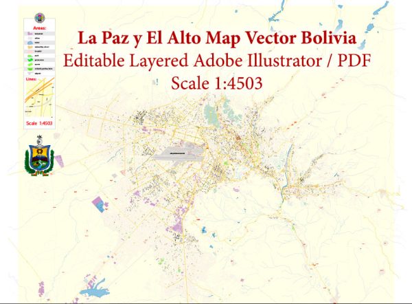
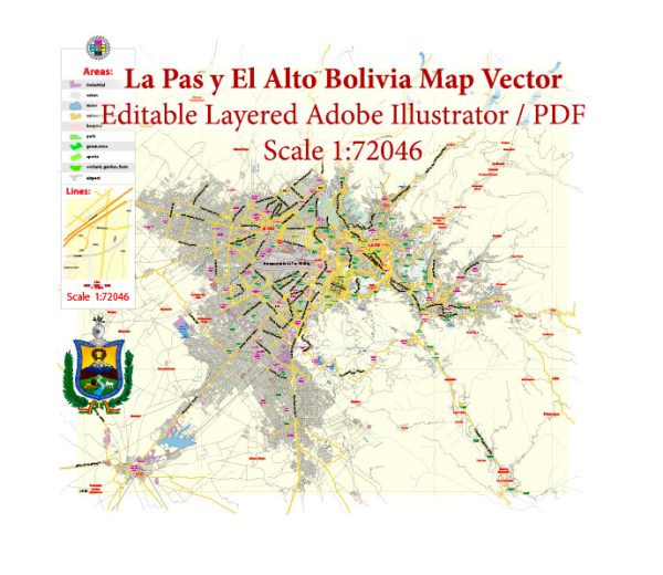
La Paz and El Alto, located in Bolivia, have a unique and challenging geography due to their high-altitude location in the Andes Mountains. The transportation system in this region is designed to accommodate the steep terrain and high altitudes. Here are some key aspects of the transport system in La Paz and El Alto:
- Telefericos (Cable Cars):
- One of the most distinctive features of the transportation system in La Paz and El Alto is the extensive network of cable cars, known as “teleféricos.” These cable cars provide an efficient and scenic mode of transportation, connecting the two cities and various neighborhoods.
- The teleférico network is operated by Mi Teleférico and consists of several lines, with additional extensions continually being added. The cable cars offer breathtaking views of the cities and surrounding mountains, and they are used by both commuters and tourists.
- Buses and Micros:
- Traditional buses and micros (small buses or vans) serve as the primary means of ground transportation in the region. They connect various neighborhoods within La Paz and El Alto and are a cost-effective way to get around.
- However, due to the hilly terrain, navigating the city by bus can be challenging, and routes can be confusing for visitors.
- Minibuses:
- Minibuses are a common mode of transportation, especially in El Alto, providing flexible and affordable transit options. They offer more direct routes and quicker travel between destinations.
- Taxis:
- Taxis are readily available and can be hailed on the streets. It’s important to negotiate the fare with the driver before getting in. Alternatively, you can use ride-sharing apps like Uber and YandexTaxi, which are popular in the area.
- Shared Vans:
- Shared vans, known as “trufis” or “colectivos,” are a common way to travel between La Paz and El Alto or to more distant neighborhoods. Passengers share the van and pay a fixed fare, and the driver follows a set route.
- Private Vehicles:
- Many residents in La Paz and El Alto own private vehicles, but traffic congestion can be an issue in certain areas, particularly during peak hours. Parking can also be challenging due to limited space.
- Pedestrian Infrastructure:
- The cities have pedestrian-friendly areas, particularly in the downtown and historical districts. Walking is a great way to explore the unique architecture and vibrant street life.
- Challenges:
- High-altitude conditions can pose challenges for some travelers. Altitude sickness is a possibility for those who are not acclimated to the thin air, so it’s advisable to take it easy for the first few days.
- The road conditions can be rough in some areas, and traffic congestion can be a problem during peak hours.
Overall, La Paz and El Alto have developed a transportation system that adapts to the challenging geography of the region. The teleférico network has been a remarkable addition, providing a scenic and efficient way to traverse the cities while minimizing traffic congestion on the ground.


 Author: Kirill Shrayber, Ph.D.