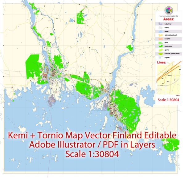
Kemi and Tornio are two neighboring towns in Finland located in the Lapland region, near the Gulf of Bothnia. The region has several natural resources that are of economic and ecological significance. Some of the key natural resources in the Kemi-Tornio area include:
- Forests: Like many parts of Finland, Kemi and Tornio are surrounded by extensive forests. These forests are rich in coniferous trees, such as pine and spruce, which are valuable for the timber and pulp industries.
- Water Resources: The Gulf of Bothnia, the rivers, and numerous lakes in the region provide access to valuable water resources. The water bodies in the area are used for various purposes, including fishing and water transportation.
- Minerals: The region also contains mineral resources, with various mines and quarries for materials like iron ore, limestone, and granite. The Tornio area is particularly known for hosting the Tornio stainless steel production plant, which relies on iron ore deposits.
- Agriculture: While the northern climate is challenging for agriculture, there are some agricultural activities in the area. Barley, oats, and potatoes are among the crops that can be cultivated.
- Wildlife and Tourism: The Lapland region is renowned for its natural beauty and wildlife. This includes opportunities for eco-tourism, hunting, and fishing, which are important for the local economy.
- Renewable Energy: The Kemi area is known for its renewable energy sources, such as hydropower and bioenergy. These sources contribute to Finland’s efforts to reduce carbon emissions and transition to more sustainable energy.
- Peat: The region also has peat deposits, which are used for energy production and horticultural purposes.
These natural resources play a crucial role in the economic and cultural life of the Kemi-Tornio area. They support industries like forestry, mining, agriculture, and tourism, while also contributing to the region’s unique environment and ecosystem. Proper management and sustainability practices are essential to ensure the long-term well-being of these resources and the communities that depend on them.


 Author: Kirill Shrayber, Ph.D. FRGS