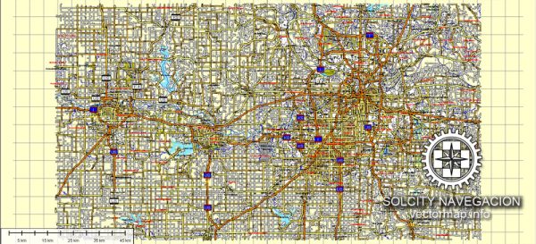
Kansas City, Lawrence, and Topeka are all cities located in the U.S. state of Kansas. Here’s a brief geographical description of each of these cities:
- Kansas City:
- Location: Kansas City is the largest city in Kansas but is often confused with its larger counterpart in the neighboring state of Missouri. Kansas City, Kansas, is part of the Kansas City metropolitan area and is located in the northeastern part of the state.
- Geography: It is situated along the Kansas and Missouri Rivers, contributing to its status as a major transportation and trade hub. The city is characterized by a mix of urban and suburban areas, with a diverse population.
- Lawrence:
- Location: Lawrence is a city in northeastern Kansas, located about 40 miles (64 kilometers) west of Kansas City, Kansas. It is the seat of Douglas County.
- Geography: Lawrence is situated along the Kansas River and is known for its scenic natural surroundings, including rolling hills and woodlands. It is also home to the University of Kansas, which gives the city a distinct college town atmosphere.
- Topeka:
- Location: Topeka is the capital city of Kansas and is situated in the northeastern part of the state. It is about 60 miles (97 kilometers) west of Kansas City, Kansas.
- Geography: Topeka is located on the Kansas River and has a relatively flat topography compared to some other areas of the state. The city is an important political and administrative center for the state of Kansas, and it has a mix of residential, commercial, and government areas.
These cities each have their own unique characteristics and play important roles in the state’s culture, economy, and history.


 Author: Kirill Shrayber, Ph.D. FRGS