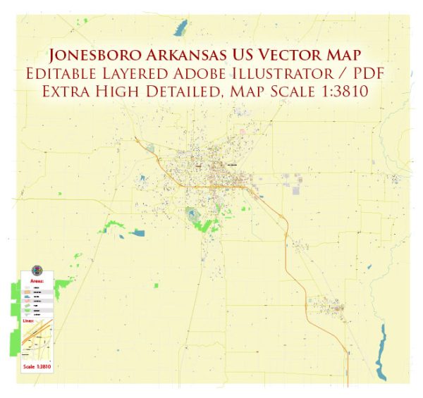
Jonesboro is a city located in the northeastern part of the state of Arkansas, United States. Here’s a geographical description of Jonesboro:
- Location: Jonesboro is situated in the northeastern region of Arkansas, near the border with the state of Missouri. It is approximately 70 miles northwest of Memphis, Tennessee.
- Coordinates: The geographical coordinates of Jonesboro are approximately 35.8423° N latitude and 90.7043° W longitude.
- Elevation: Jonesboro has a relatively low elevation, with most of the city sitting at around 260 to 270 feet (about 79 to 82 meters) above sea level.
- Topography: The topography of Jonesboro and its surrounding region is characterized by relatively flat terrain. The city is part of the Mississippi Alluvial Plain, and the landscape is primarily agricultural, with fertile farmland.
- Rivers: The St. Francis River runs near Jonesboro, contributing to the area’s agricultural productivity. The city itself is not directly on the river but is situated in its broader floodplain.
- Climate: Jonesboro experiences a humid subtropical climate. Summers are typically hot and humid, while winters are generally mild with occasional cold spells. The area can also experience thunderstorms, especially during the spring and early summer.
- Vegetation: The region around Jonesboro features a mix of natural vegetation and farmland. You’ll find deciduous trees like oaks, maples, and other hardwoods in the area, as well as various crops due to the city’s agricultural significance.
- Geographical Features: While Jonesboro itself doesn’t have major geographical landmarks, it is surrounded by the natural beauty of the Arkansas countryside. There are various lakes and reservoirs in the region, which offer recreational opportunities.
- Transportation: Jonesboro is a transportation hub for the northeastern part of Arkansas, with well-developed road and rail networks. The city is accessible via several major highways, including U.S. Route 63, which connects it to Interstate 55 in Missouri and Interstate 555, providing a direct link to Memphis, Tennessee.
Overall, Jonesboro’s geography is characterized by its position in a relatively flat, fertile plain, making it a significant center for agriculture and trade in northeastern Arkansas.


 Author: Kirill Shrayber, Ph.D.