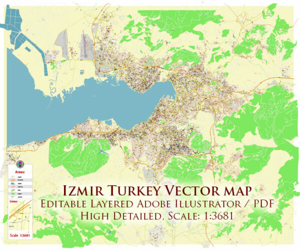
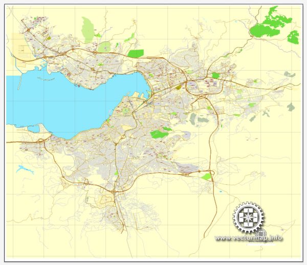
İzmir, also known as Smyrna in antiquity, is a historic city located on the western coast of Turkey. Its history is rich and diverse, with a timeline that spans over several millennia. Here’s a brief description of Izmir’s history:
- Ancient Origins: Izmir has a history dating back to around 3000 BC, making it one of the oldest continuously inhabited cities in the Mediterranean region. It was founded by the Aeolians, a group of ancient Greeks, and quickly became an important trading and cultural center.
- Greek and Roman Eras: During the classical Greek period, Izmir was known as Smyrna. It was renowned for its beauty and prosperity. It played a crucial role in the Hellenistic and Roman periods, serving as a significant port and trade hub.
- Byzantine Era: After the Roman Empire’s division, Izmir became part of the Byzantine Empire. It continued to thrive as a key commercial center and a hub for Christianity.
- Ottoman Rule: In the 15th century, the Ottomans conquered Izmir, incorporating it into their expanding empire. The city continued to be an important trading post during the Ottoman era.
- Late 19th and Early 20th Centuries: Izmir was a melting pot of cultures, with a diverse population of Greeks, Armenians, and Jews, among others. However, a catastrophic fire in 1922, following the Greco-Turkish War, destroyed much of the city, and the population exchange between Greece and Turkey led to the departure of many Greeks.
- Modern Turkey: After the establishment of the Republic of Turkey in 1923, Izmir underwent significant reconstruction and development. It has since grown into a bustling metropolis with a vibrant economy, serving as a major center for commerce, industry, and tourism.
- Recent Developments: Izmir remains a key city in Turkey and has seen extensive urban development and modernization in the 20th and 21st centuries. It boasts a diverse culture and a mix of historic and modern architecture.
The city has a rich history, and many archaeological sites, museums, and historical monuments can be found throughout the region, providing a glimpse into its ancient past. Izmir’s location on the Aegean coast and its pleasant climate also make it a popular tourist destination.
Today, Izmir is the third-largest city in Turkey and plays a crucial role in the country’s economy and cultural life, while still preserving traces of its long and storied history.


 Author: Kirill Shrayber, Ph.D. FRGS