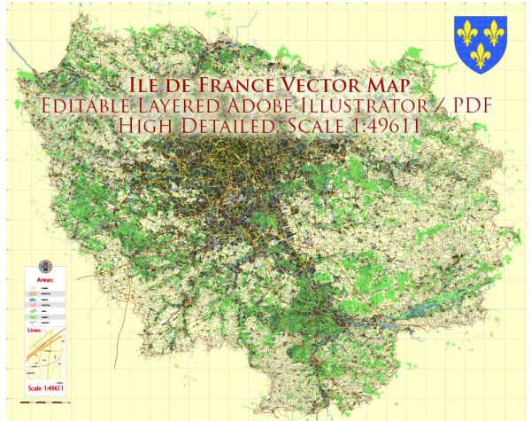
Île-de-France, the region that includes Paris and its surrounding suburbs, has an extensive and well-developed transportation system. Here are some of the key components of the transportation system in Île-de-France, France:
- Paris Metro (Métro): The Paris Métro is one of the most famous and efficient metro systems in the world. It consists of 16 lines serving the city and its suburbs. The metro system is a convenient way to travel within the city, with stations located near major tourist attractions, business districts, and residential areas.
- RER (Réseau Express Régional): The RER is a regional commuter rail system that connects Paris with its suburbs and nearby cities. It consists of five lines (A, B, C, D, and E), and it plays a crucial role in connecting the city to its surrounding regions. RER lines provide faster transportation over longer distances than the regular metro.
- Buses and Trams: Île-de-France has an extensive bus network, with several bus lines serving both the city and the suburbs. Additionally, there are tramway lines, such as the T1, T2, and T3, that provide additional public transportation options.
- Transilien: Transilien is a network of suburban and regional train lines serving the wider Île-de-France region. It complements the RER system by connecting to more distant areas in the region.
- Vélib’ and Electric Scooters: In recent years, Île-de-France has implemented bike-sharing systems (Vélib’) and electric scooters for short-distance urban travel. These services are widely available throughout the city.
- Taxis and Ride-Sharing: Traditional taxis and ride-sharing services like Uber are readily available in Paris and its suburbs, providing convenient transportation options.
- Airports: Île-de-France is served by several major airports, including Charles de Gaulle Airport (Roissy) and Orly Airport. These airports are well-connected to the city center by various transportation options, including RER, buses, and taxis.
- Seine River Transportation: The Seine River is used for transportation, with riverboats and cruise ships offering scenic tours and transportation along the river.
- Walking and Biking: Many areas of Paris and its suburbs are pedestrian-friendly, and there are designated bike lanes for cyclists. Walking and biking can be enjoyable ways to explore the city.
- Car Rentals and Roads: While the public transportation system is extensive, some people choose to rent cars for more flexibility, especially if they plan to explore areas outside of Paris. Île-de-France has a network of well-maintained roads and highways.
The transportation system in Île-de-France is generally efficient and well-integrated, making it relatively easy to get around the city and its surrounding areas. It’s important to plan your routes and choose the mode of transportation that best suits your needs when exploring the region.


 Author: Kirill Shrayber, Ph.D.