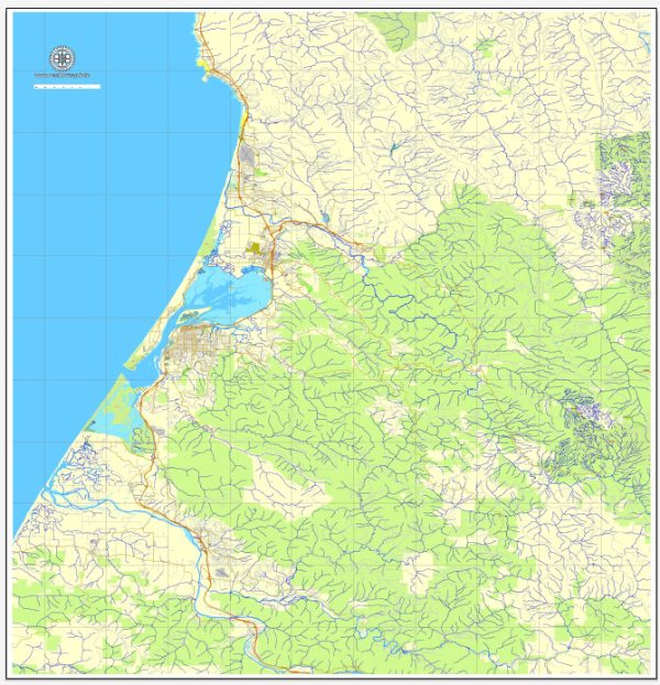
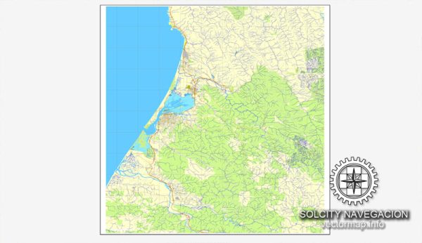
Humboldt County, located in northern California, is known for its lush natural landscapes and abundant water resources. The county is home to several rivers, streams, and water bodies that play a vital role in the region’s ecology and water supply. Eureka, the largest city in Humboldt County, benefits from these water resources. Here are some key water resources in the Humboldt Eureka area:
- Eel River: The Eel River is one of the major rivers in Humboldt County, flowing through the region before emptying into the Pacific Ocean. It is an important water source for the area and supports various aquatic life. It is also used for recreational purposes like fishing and kayaking.
- Mad River: The Mad River is another significant watercourse in the area. It flows through Arcata and McKinleyville before reaching the Pacific Ocean. It is used for drinking water supply and provides opportunities for outdoor activities.
- Humboldt Bay: Humboldt Bay is a large estuary on the northern California coast. It provides sheltered waters for boating and is an important commercial and recreational resource.
- Groundwater: In addition to surface water resources, Humboldt County relies on groundwater from various aquifers. Many local communities and agricultural activities depend on well water.
- Local Reservoirs: There are also several small reservoirs in the area, which may be used for water supply and recreational purposes.
Water resource management in Humboldt County is critical to balance the needs of the environment, agriculture, industry, and residential use while protecting the delicate ecosystems and ensuring a sustainable water supply for the region. The local authorities, including the Humboldt Bay Municipal Water District and Humboldt County Department of Public Works, are responsible for managing and maintaining these water resources.
Please note that for the most up-to-date and specific information on Humboldt County’s water resources and management, it is advisable to contact local government agencies and organizations responsible for water resource management in the area.


 Author: Kirill Shrayber, Ph.D.