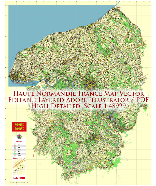
Haute-Normandie is a region in northern France known for its diverse energy system. However, it’s essential to note that energy systems and policies can evolve over time due to various factors, including government initiatives, technological advancements, and changing energy needs. Here’s a general overview of the energy system in Haute-Normandie as of that time:
- Nuclear Energy: France has a significant reliance on nuclear energy for electricity generation, and Haute-Normandie is home to several nuclear power plants, including the Paluel and Penly nuclear power stations. These facilities play a crucial role in the region’s energy supply.
- Renewable Energy: There has been a growing emphasis on renewable energy sources, including wind and solar power. The region has seen an increase in wind farms and solar installations, contributing to its renewable energy capacity.
- Fossil Fuels: Like other regions in France, Haute-Normandie also used fossil fuels, such as natural gas and oil, for energy generation. However, there were efforts to reduce the dependency on these sources in favor of cleaner alternatives.
- Hydropower: While Haute-Normandie does not have as much potential for hydropower as some other regions in France, there are small hydropower facilities in operation.
- Energy Efficiency: Efforts were being made to improve energy efficiency in industries, homes, and transportation to reduce energy consumption and environmental impact.
- Transportation: The region was investing in sustainable transportation options, such as electric buses and developing infrastructure for electric vehicle charging.
- Government Initiatives: The French government has been actively working on reducing carbon emissions and promoting the use of renewable energy. This includes subsidies and incentives for renewable energy projects and energy-efficient technologies.


 Author: Kirill Shrayber, Ph.D. FRGS