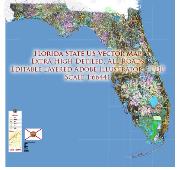
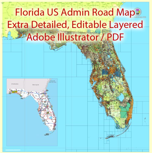
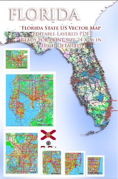
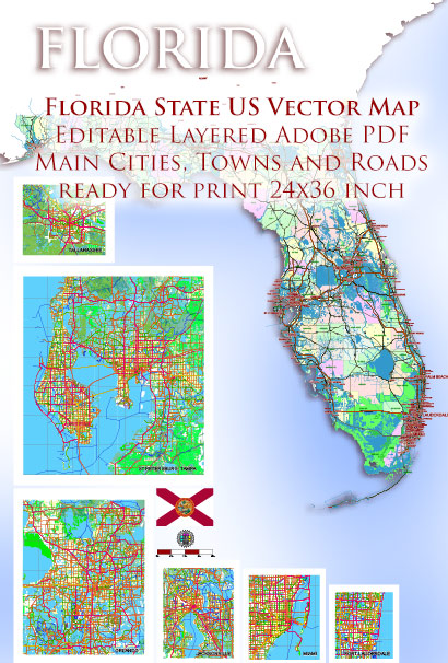
Florida is a state located in the southeastern United States. It is known for its diverse geography, which includes a combination of coastal areas, wetlands, forests, and inland regions. Here’s a geographical description of Florida:
- Coastline: Florida boasts one of the longest coastlines in the United States, with approximately 1,350 miles (2,170 kilometers) of shoreline along the Atlantic Ocean and the Gulf of Mexico. This extensive coastline has led to the state’s nickname, “The Sunshine State.”
- Peninsular Shape: Florida is a peninsula, which means it is almost entirely surrounded by water. To the east, it is bordered by the Atlantic Ocean, and to the west, it is bordered by the Gulf of Mexico. To the south, it is separated from the Caribbean by the Straits of Florida.
- Everglades: In the southern part of the state, you’ll find the Florida Everglades, a vast subtropical wetland ecosystem. It’s a unique environment characterized by sawgrass marshes, cypress swamps, and a variety of wildlife, including alligators and various bird species.
- Swamps and Wetlands: Apart from the Everglades, Florida has many other swamps and wetlands. These areas are essential for biodiversity and are known for their unique ecosystems.
- Islands: Florida includes many barrier islands along its coastline, such as the Florida Keys, which extend from the southern tip of the peninsula into the Gulf of Mexico. The Florida Keys are renowned for their beautiful beaches and coral reefs.
- Inland Regions: Inland Florida features a mix of flatlands, rolling hills, and fertile agricultural areas. The central part of the state, often referred to as Central Florida, is characterized by large lakes, citrus groves, and the city of Orlando.
- Rivers and Lakes: Florida has numerous rivers and lakes, including the St. Johns River, the Suwannee River, and Lake Okeechobee, which is the largest freshwater lake entirely within the United States.
- Climate: Florida has a generally subtropical climate, with hot and humid summers and mild winters. The climate is particularly influenced by its proximity to bodies of water, which can lead to high humidity and occasional tropical storms or hurricanes.
- Coral Reefs: Florida is home to the only living coral barrier reef in the continental United States. This reef system, known as the Florida Reef Tract, runs parallel to the Florida Keys and supports a diverse marine ecosystem.
- National Parks and Conservation Areas: Florida has several national parks and conservation areas, such as Everglades National Park, Biscayne National Park, and Big Cypress National Preserve, which protect and preserve the state’s unique natural environments.
In summary, Florida’s geographical features include an extensive coastline, wetlands like the Everglades, a peninsular shape, islands, diverse ecosystems, and a range of natural beauty that makes it a popular destination for tourists and nature enthusiasts.


 Author: Kirill Shrayber, Ph.D. FRGS