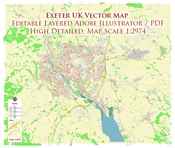
Exeter is a historic city located in the southwest of England, United Kingdom. Its history is rich and dates back to Roman times. Here’s a brief description of the history of Exeter:
- Roman Period: Exeter, known as “Isca Dumnoniorum” in Roman times, was established as a Roman fortress in the first century AD. It served as a strategic military and administrative center in the southwest of Britain. The city’s Roman walls and some archaeological remains still exist today.
- Anglo-Saxon Era: After the Roman withdrawal from Britain, Exeter became part of the kingdom of Wessex. It continued to be an important settlement and developed into a regional trade and administrative center.
- Medieval Exeter: During the medieval period, Exeter grew in significance as a commercial hub and ecclesiastical center. The Exeter Cathedral, dedicated to Saint Peter, was founded in the 12th century and is an architectural masterpiece.
- Tudor and Stuart Times: Exeter played a role in the English Civil War during the 17th century, and the city experienced sieges and battles. It was a stronghold for the Royalists.
- Industrial Revolution: Exeter, like many other cities in England, saw significant growth during the Industrial Revolution. It became a center for various industries, including woolen cloth production, trade, and transportation.
- Modern Era: In the 20th century, Exeter continued to evolve as a thriving city. It saw development in education, healthcare, and commerce. The University of Exeter was established in 1955, contributing to the city’s educational and cultural significance.
- World War II: During World War II, Exeter was heavily bombed by the Luftwaffe, leading to substantial damage to the city’s historic buildings. However, many of these have been restored in the post-war years.
- Contemporary Exeter: Today, Exeter is a vibrant and culturally rich city. It is known for its beautiful historic architecture, including the cathedral and the historic quayside. The city hosts various cultural events and festivals and is a popular destination for tourists and students.
Exeter’s history is a testament to its resilience and adaptability over the centuries, as it transformed from a Roman fortress to a modern, thriving city. Its historical sites, including the cathedral, Roman walls, and medieval buildings, make it a fascinating place to explore for those interested in British history.


 Author: Kirill Shrayber, Ph.D. FRGS