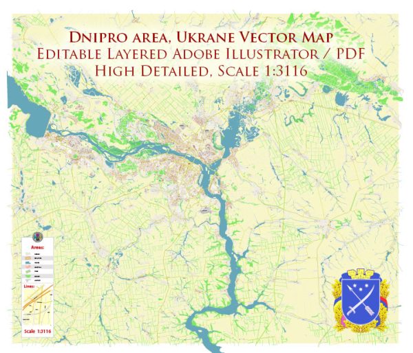
Dnipro, formerly known as Dnipropetrovsk, is one of the major cities in Ukraine and holds a rich history that spans centuries. Here’s a brief overview of the history of Dnipro:
- Early History: The area around Dnipro has been inhabited for thousands of years. It was a part of the historical region of Sloboda Ukraine, which was settled by Cossacks and served as a frontier region of the Russian Empire. The exact founding date of Dnipro is uncertain, but it began to take shape as a settlement in the 18th century.
- Industrialization: The 19th century saw significant industrial development in the Dnipro region. The construction of the Dnieper River, which was completed in the mid-19th century, helped to transform the city into an important industrial center, particularly for metallurgy, engineering, and manufacturing. This industrialization contributed to the city’s growth and prosperity.
- Soviet Era: In the early 20th century, the city experienced rapid growth and industrialization under Soviet rule. During the Soviet era, Dnipropetrovsk became a key industrial and scientific center, with a focus on aerospace, military production, and heavy machinery.
- World War II: Dnipro played a vital role during World War II as an industrial and military hub. The city was occupied by Nazi Germany for several years, and the local population suffered greatly. After the war, Dnipro underwent post-war reconstruction and continued to grow as an industrial city.
- Name Change: In 2016, the city officially changed its name from Dnipropetrovsk to Dnipro to remove the Soviet-era “Petrovsk” reference from its name and to reflect its connection to the Dnieper River.
- Modern Times: Dnipro has continued to evolve as a major economic and cultural center in Ukraine. It is known for its universities, research institutions, and cultural landmarks. The city’s location on the Dnieper River and its status as an important transportation and trade hub have contributed to its significance in Ukraine’s economic and social life.
- Cultural Heritage: Dnipro is home to various museums, theaters, and cultural institutions. It has a rich artistic and literary heritage and is known for its contribution to Ukrainian literature and arts.
Today, Dnipro is a dynamic city with a diverse population and a strong connection to Ukraine’s industrial, cultural, and historical heritage. It has played a crucial role in the country’s history and development, making it an essential part of Ukraine’s story.


 Author: Kirill Shrayber, Ph.D. FRGS