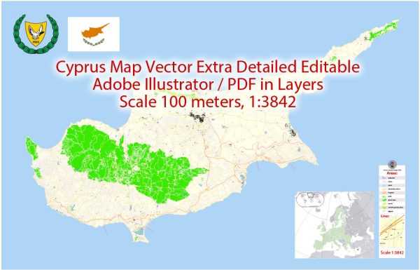
Cyprus is an island country located in the eastern Mediterranean Sea. Here’s a geographical description of Cyprus:
- Location: Cyprus is situated in the eastern part of the Mediterranean Sea, south of Turkey, west of Syria and Lebanon, and north of Egypt. It is strategically positioned at the crossroads of Europe, Asia, and Africa.
- Size: The island of Cyprus covers an area of approximately 9,251 square kilometers (3,572 square miles), making it the third-largest Mediterranean island after Sicily and Sardinia.
- Geography: The island has a diverse and varied landscape. The central part of the island is characterized by a fertile, mountainous region known as the Troodos Mountains, which is the highest point on the island, with Mount Olympus reaching an elevation of 1,952 meters (6,404 feet). The Troodos Mountains are known for their pine forests, scenic villages, and numerous Byzantine churches.
- Coastline: Cyprus has a coastline that stretches for about 648 kilometers (402 miles). Its coastline includes a mix of sandy beaches, rocky coves, and picturesque bays. The island is known for its beautiful, crystal-clear waters, making it a popular destination for tourists.
- Climate: Cyprus has a Mediterranean climate, characterized by hot, dry summers and mild, wet winters. Summers are long and typically extend from May to October, with temperatures often exceeding 30°C (86°F). Winters are relatively mild, with temperatures rarely falling below 10°C (50°F) in coastal areas.
- Flora and Fauna: Cyprus boasts a rich variety of plant and animal species. The island’s flora includes various types of wildflowers, herbs, and shrubs. The Troodos Mountains are home to unique species of orchids. Common animals found on the island include foxes, hares, and a wide variety of bird species.
- Natural Resources: Cyprus has limited natural resources, but it is known for its copper mining heritage, with the ancient city of Kition (modern Larnaca) being a significant center of copper production in antiquity. The island also has some limited mineral deposits and quarries.
- Water Resources: Cyprus faces water scarcity issues, and water resources are a critical concern. The island relies on dams and reservoirs to store and manage its water supply. Desalination plants are also used to address water shortages.
- Geography and Division: The island has been divided since 1974 into two main regions, with the Republic of Cyprus controlling the southern and western portions, and the self-declared Turkish Republic of Northern Cyprus in the northern part, which is recognized only by Turkey. The United Nations maintains a buffer zone in between, known as the Green Line.
Cyprus’s geographical location and varied landscape contribute to its historical and cultural significance, as well as its appeal as a tourist destination. The island’s natural beauty, historical sites, and pleasant climate make it a popular place for visitors and a unique place to explore.


 Author: Kirill Shrayber, Ph.D. FRGS