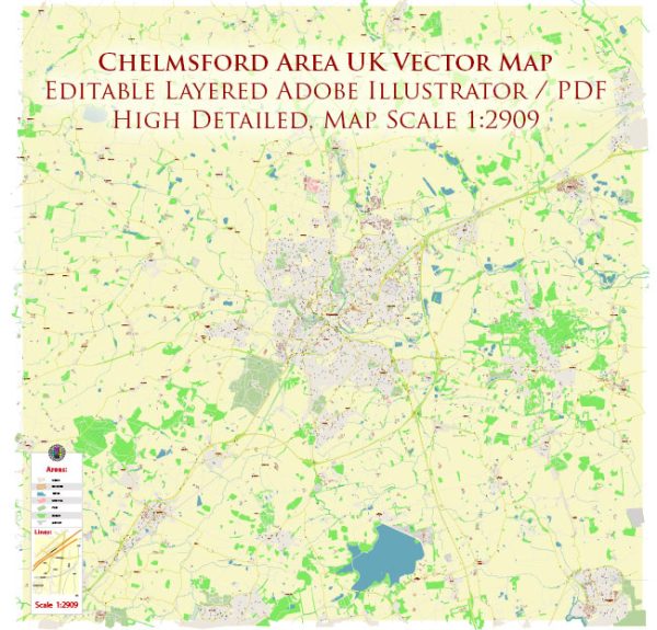
Chelmsford is a historic city located in the county of Essex, England. Its history dates back to Roman times, and it has evolved significantly over the centuries. Here’s a brief description of Chelmsford’s history:
- Roman Era: Chelmsford, originally known as “Caesaromagus,” was a Roman settlement established in the 1st century AD. It served as a regional center and market town during Roman occupation. The town’s name means “Caesar’s Market.”
- Medieval Period: After the Roman era, Chelmsford continued to be a vital market town, and it played a role in the wool and cloth trade. Chelmsford received a royal charter for a market in 1199, which helped it grow further as a market town.
- Tudor and Stuart Periods: During the Tudor and Stuart periods, Chelmsford became an important administrative center. In 1215, the city hosted the Barons’ War Parliament, where the Magna Carta was reissued.
- Industrial Revolution: Chelmsford’s growth accelerated during the Industrial Revolution. It became a hub for manufacturing and transportation, particularly due to its proximity to London. The arrival of the railway in the 19th century boosted economic development.
- Marconi and the Birth of Radio: Chelmsford is known for its connection to Guglielmo Marconi, who conducted pioneering experiments in wireless communication here in the late 19th and early 20th centuries. The city played a significant role in the early history of radio and wireless telegraphy.
- 20th Century: During the 20th century, Chelmsford continued to grow as a residential and industrial area. It was granted city status in 2012, becoming the only city in Essex.
- Contemporary Chelmsford: Today, Chelmsford is a thriving city with a mix of historical and modern elements. It is known for its vibrant community, educational institutions, shopping centers, and cultural attractions. Chelmsford is also a commuter town, with many of its residents working in London.
Chelmsford’s rich history, combined with its proximity to London and its ongoing development, makes it a unique and dynamic city in the heart of Essex. The city has preserved and celebrated its historical heritage while embracing the opportunities of the modern age.


 Author: Kirill Shrayber, Ph.D. FRGS