Canberra, the capital city of Australia, has a unique and fascinating history. Here is a brief description of its history:
- Indigenous History: Before European settlement, the area around present-day Canberra was inhabited by Aboriginal people, primarily the Ngunnawal and Ngambri tribes. They had a rich cultural and spiritual connection to the land and its surrounding areas.
- European Settlement: The first European exploration of the region occurred in the early 19th century when explorers like Charles Throsby and Joseph Wild ventured into the area. However, it was not until 1820 that a stockman named Joshua John Moore established the first European settlement in the region.
- Selection as the Capital: Canberra’s history takes a significant turn in 1908 when it was selected as the site for Australia’s new capital city. This decision was the result of a compromise between Sydney and Melbourne, both of which vied for the honor of being the capital. Walter Burley Griffin, an American architect, won an international design competition to plan the city.
- Building the Capital: Construction of the new capital began in 1913, but it was interrupted by World War I. The city’s development continued through the 1920s and 1930s, with significant landmarks such as Parliament House and the Australian War Memorial being built.
- Federal Capital Territory: The Australian Capital Territory (ACT) was established to govern the new capital city. It is a separate territory, distinct from any state, and its governance is overseen by the federal government.
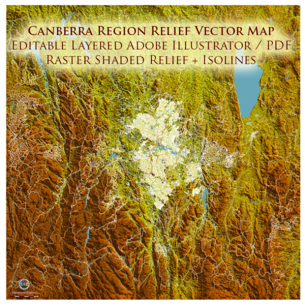
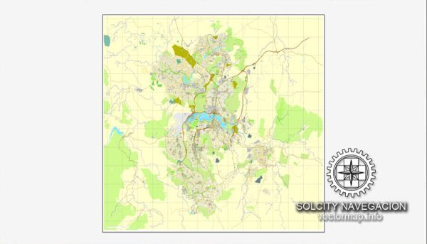
- Growth and Development: Canberra continued to grow and develop throughout the 20th century, becoming a center for government and administration. The city was designed with a focus on green spaces, urban planning, and a series of artificial lakes, which contribute to its unique and attractive layout.
- Contemporary Canberra: Today, Canberra is a vibrant city with a diverse population, and it serves as the political and administrative heart of Australia. It houses key government institutions, including the Australian Parliament House, the High Court of Australia, and various diplomatic missions.
- Cultural and Educational Hub: Canberra is also home to several museums, galleries, and educational institutions, including the Australian National University and the National Gallery of Australia. These institutions contribute to the city’s cultural and intellectual vibrancy.
- Natural Beauty: The city is surrounded by natural beauty, with the Namadgi National Park to the south and the Tidbinbilla Nature Reserve offering opportunities for outdoor activities, wildlife viewing, and bushwalking.
Canberra’s history reflects its unique role as a planned capital city, designed to bring together the nation’s disparate colonies and serve as a symbol of Australian unity and democracy. Today, it continues to play a central role in the country’s political, cultural, and administrative life.

 Author: Kirill Shrayber, Ph.D. FRGS