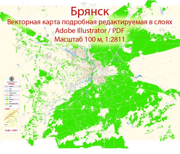
Bryansk is a city located in western Russia, situated in the Bryansk Oblast, which is an administrative region of the country. The city has a rich history that dates back centuries. Here is a brief description of Bryansk’s history:
- Early History: Bryansk’s history can be traced back to the early medieval period. The first written record of the city dates to 1146. During this time, it was a small settlement in a region that was part of the Kievan Rus, a loose federation of East Slavic tribes.
- Mongol Rule: In the 13th century, Bryansk fell under Mongol rule as part of the Golden Horde. This period of Mongol domination lasted for several centuries and significantly influenced the culture and society of the region.
- Grand Duchy of Moscow: Bryansk eventually came under the control of the Grand Duchy of Moscow in the 15th century, as Moscow gradually expanded its territory, absorbing neighboring lands.
- Imperial Russia: During the 18th and 19th centuries, Bryansk, like many other Russian cities, underwent significant changes as it developed into an industrial and commercial center. It became known for its metalworking and textile industries.
- World War II: Bryansk played a crucial role during World War II as it was located near the front lines of the Eastern Front. The city was occupied by German forces from 1941 to 1943, and it suffered extensive damage. The battles for Bryansk were part of the larger campaign to liberate the city and surrounding areas from Nazi occupation.
- Post-War Era: After the war, Bryansk was rebuilt and continued to develop as an industrial hub, with a focus on heavy machinery, chemicals, and food processing industries.
- Contemporary Period: In the post-Soviet era, Bryansk, like many other Russian cities, faced economic and social challenges as the country transitioned to a market economy. The city has since been working to modernize and diversify its economy.
Today, Bryansk is an important regional center with a population of around 400,000 people. It is known for its cultural heritage, including museums, theaters, and historical landmarks. The city also serves as a transportation hub, with railways and highways connecting it to other major cities in Russia. Its history, marked by a mix of ancient roots and more recent industrial developments, contributes to the rich tapestry of Russian heritage.


 Author: Kirill Shrayber, Ph.D. FRGS