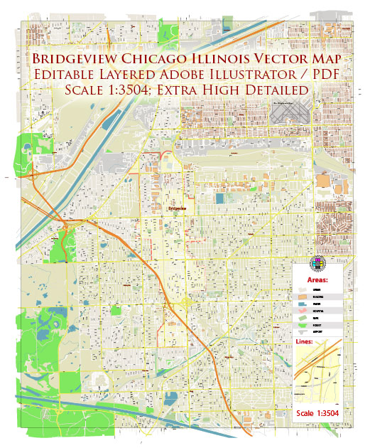
Bridgeview is a suburb located in Cook County, Illinois, in the United States. General economical description of the area.
Economy:
- Diverse Workforce: Bridgeview, like many suburbs in the Chicago metropolitan area, benefits from its proximity to the city, offering residents a wide range of employment opportunities. Many residents commute to Chicago for work.
- Manufacturing and Retail: Historically, manufacturing played a significant role in the local economy. Bridgeview is home to various businesses involved in manufacturing and distribution. Additionally, the suburb has a number of retail establishments, including stores and restaurants, contributing to the local economy.
- Real Estate: The real estate market in Bridgeview primarily consists of single-family homes, apartments, and some commercial properties. The real estate market’s health and property values can be influenced by various factors, including local demand and economic conditions.
- Local Businesses: Small businesses, including local shops, restaurants, and service providers, play a vital role in the community’s economy.
- Public Services: The local government provides essential services, including public safety, education, and infrastructure development, which also contribute to the local economy through public sector jobs and contracts with businesses.


 Author: Kirill Shrayber, Ph.D. FRGS