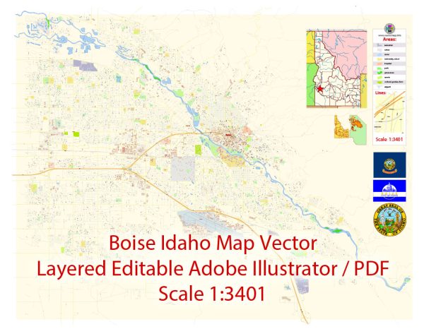
Boise, the capital and largest city of Idaho, has a rich history that dates back to the early 19th century when it was first settled by European pioneers and fur trappers. Here is a brief overview of Boise’s history:
- Early Settlement: Boise was initially inhabited by the Shoshone and Bannock Native American tribes before the arrival of European settlers. The area was explored by fur trappers and traders, and it became a prominent location on the Oregon Trail during the mid-1800s.
- Gold Rush Era: Boise’s history is closely tied to the gold rush that swept through the Western United States in the 1860s. Gold was discovered in the Boise Basin in 1862, leading to a population influx and the establishment of the city of Boise. This period of growth was marked by the construction of schools, churches, and businesses.
- Territorial Capital: Boise became the territorial capital of Idaho in 1864, as the Idaho Territory was established. The city continued to grow as government institutions and infrastructure developed.
- Statehood: Idaho achieved statehood in 1890, and Boise remained the state capital. The city’s role as an administrative center and transportation hub continued to fuel its growth.
- Agriculture and Industry: Agriculture, particularly farming and ranching, played a significant role in Boise’s economy. The city became known for its agricultural products, including potatoes, and saw the growth of food processing and manufacturing industries.
- The Boise State University: Founded in 1932, Boise State University has become a prominent educational institution in the city, contributing to its cultural and intellectual vibrancy.
- Modern Development: Boise experienced substantial growth in the late 20th and early 21st centuries. The city attracted people with its quality of life, recreational opportunities, and a diverse economy that includes technology and healthcare sectors. This growth has led to both opportunities and challenges, including urban development and infrastructure improvements.
- Outdoor Recreation: Boise is situated in a region with abundant natural beauty, including the Boise River, the nearby Sawtooth National Recreation Area, and the Bogus Basin ski area. Outdoor activities, including hiking, skiing, and rafting, have become an integral part of the city’s identity.
- Cultural Scene: Boise has a thriving cultural scene with museums, theaters, music venues, and annual events like the Boise River Festival and the Treefort Music Fest, which showcase the city’s artistic and creative spirit.
- Diverse Community: Boise has become more diverse in recent years, with an influx of newcomers from various backgrounds, contributing to a vibrant and multicultural community.
Boise’s history is a blend of its indigenous roots, Western frontier heritage, and modern development. It has evolved from a small mining and agricultural town into a dynamic city that combines urban amenities with easy access to outdoor adventures.


 Author: Kirill Shrayber, Ph.D. FRGS