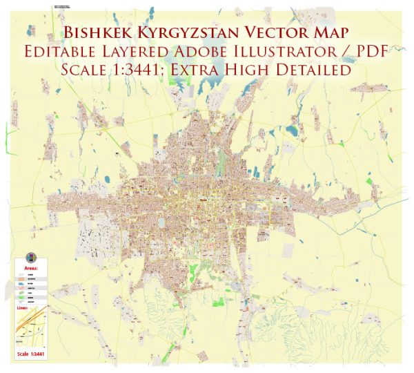
Bishkek, the capital city of Kyrgyzstan, has a rich history that spans over 2,000 years. Its history is marked by various rulers, empires, and political changes. Here’s a brief overview of Bishkek’s history:
- Ancient Settlements: The area around Bishkek has been inhabited for centuries. In ancient times, it was a part of the Silk Road, a major trade route that connected China with the Mediterranean. Various nomadic and settled communities thrived in this region.
- Russian Imperial Period: In the 19th century, the Russian Empire expanded into Central Asia, including what is now Kyrgyzstan. The area around Bishkek became part of the Russian Empire and was used as a military post and agricultural center. The city of Bishkek was founded in 1825 as the Russian fort of “Pishpek.”
- Soviet Era: After the Russian Revolution of 1917, the territory of modern Kyrgyzstan became a Soviet Socialist Republic, and the city was renamed Frunze in 1926 in honor of the Soviet military leader Mikhail Frunze, who was born in the city. During the Soviet era, Bishkek saw significant urban development and industrialization.
- Independence: Kyrgyzstan gained independence from the Soviet Union in 1991, and the city’s name was changed from Frunze back to Bishkek. The early years of independence were marked by political and economic challenges.
- Contemporary Bishkek: Today, Bishkek is the largest city in Kyrgyzstan and serves as the country’s political, economic, and cultural center. It features a mix of Soviet-era architecture and modern developments. The city is known for its green parks, wide boulevards, and a vibrant cultural scene. Bishkek is home to several universities, museums, and historical sites, including Ala-Too Square, which is the central square of the city and a focal point for public gatherings.
Bishkek’s history is deeply intertwined with the broader history of Kyrgyzstan and the region. It has seen significant changes over the centuries, reflecting the influence of various empires and the evolving political landscape of Central Asia. Today, it is a dynamic city that continues to evolve and play a central role in the life of the Kyrgyz Republic.


 Author: Kirill Shrayber, Ph.D. FRGS