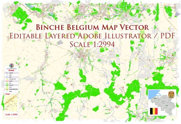
Binche is a historic city located in the Hainaut province of Belgium. It is renowned for its rich history, cultural heritage, and its famous Carnival of Binche, which has been recognized as a Masterpiece of the Oral and Intangible Heritage of Humanity by UNESCO. Here is a brief overview of Binche’s history and its key features:
- Early History: Binche’s history can be traced back to the Roman era when it was a small settlement. Over the centuries, it developed into a significant center for trade and administration.
- Medieval Period: Binche’s strategic location near the French border made it a vital fortified town during the Middle Ages. It was granted city status in the 12th century. The town’s walls and fortifications played a crucial role in its defense.
- Habsburg Rule: In the 16th century, Binche came under Habsburg rule as part of the Spanish Netherlands. During this period, it witnessed the construction of the impressive Binche Castle, which is still a prominent landmark in the city.
- Carnival of Binche: The most famous aspect of Binche’s history is its annual Carnival, which has a history dating back several centuries. The Carnival is a vibrant, lively event featuring colorful costumes, traditional Gilles characters, and a unique form of celebration with roots in local folklore.
- The Gilles: The Gilles are the central figures of the Carnival of Binche. They are men dressed in elaborate costumes, featuring ostrich feather hats, wax masks, and wooden clogs. The Gilles throw oranges into the crowd as a symbol of good luck. The Gilles’ dance and festivities are a UNESCO-recognized tradition.
- Modern Era: After various political changes, Binche became part of Belgium in the 19th century. Today, it is a thriving city with a rich cultural heritage.
- Binche Castle: Binche Castle, built in the 12th century and extensively renovated in the 16th century, is a notable historical site. It features a museum with collections of fine arts, porcelain, and local history.
- Local Cuisine: Binche is known for its culinary specialties, including the famous Gilles beer and local dishes like “tarte al djote,” a savory pie made with a local vegetable called “djote.”
Binche continues to honor its history and traditions through events like the Carnival and the preservation of its historic architecture. The city’s vibrant culture, architectural heritage, and annual festivities make it a unique and captivating destination for visitors interested in Belgian history and culture.


 Author: Kirill Shrayber, Ph.D. FRGS