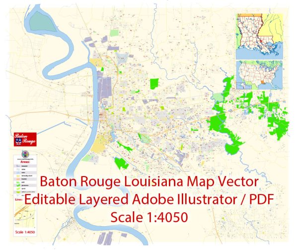
Baton Rouge, the capital city of Louisiana, has a rich and diverse history that spans several centuries. Here’s a brief description of its historical background:
- Early Native American Inhabitants: Long before European settlers arrived, the area now known as Baton Rouge was home to Native American tribes, including the Houma, Bayogoula, and the Atakapa. These indigenous communities thrived in the region for thousands of years.
- European Exploration and Colonization: The first European to explore the Baton Rouge area was the French explorer Sieur d’Iberville in 1699. Subsequently, the French established a fort in the area in 1719, which they named “Baton Rouge” (red stick) after a red cypress tree marked with a bloodstained pole by Native Americans. Baton Rouge became a crucial outpost for the French in their efforts to control the Mississippi River.
- Spanish Rule: In 1763, as part of the Treaty of Paris, the area was ceded to Spain. The Spanish rule lasted for several decades, and it left a lasting impact on the culture and architecture of the region.
- Return to French Control: Baton Rouge was briefly returned to French control in 1800 but was soon acquired by the United States as part of the 1803 Louisiana Purchase. This marked the beginning of American influence in the region.
- State Capital: Baton Rouge was designated as the state capital of Louisiana in 1849, replacing New Orleans. The Louisiana State Capitol building, completed in the 1930s, is a notable landmark in the city.
- Civil War: During the American Civil War, Baton Rouge played a significant role as it was occupied by Union forces in 1862. It served as a base for Union operations in the Gulf South.
- 20th Century and Beyond: Baton Rouge continued to grow throughout the 20th century, becoming a center of industry, commerce, and culture in Louisiana. The city experienced significant social and political changes during the civil rights movement, like many other parts of the American South.
- Cultural Diversity: Baton Rouge is known for its cultural diversity, with a rich Creole and Cajun heritage, as well as a significant African American population. This diversity is reflected in the city’s music, cuisine, and festivals.
- Educational Hub: Baton Rouge is home to several institutions of higher education, including Louisiana State University (LSU), which plays a vital role in the city’s cultural and economic life.
- Natural Disasters: The city has also faced challenges such as hurricanes and floods, with Hurricane Katrina in 2005 causing significant devastation in the region.
Today, Baton Rouge continues to evolve as a dynamic city, with a unique blend of historical significance, cultural heritage, and modern development. It remains an integral part of Louisiana’s rich historical tapestry.


 Author: Kirill Shrayber, Ph.D. FRGS