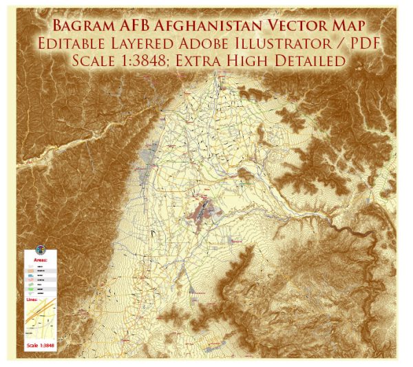
Bagram Air Base, also known as Bagram Airfield, is a significant military installation in Afghanistan with a rich and complex history. Located in Parwan Province, approximately 50 kilometers north of the capital, Kabul, Bagram has played a pivotal role in various military operations and conflicts in the region. Here’s a brief history and description:
Early History:
- Bagram Air Base has its origins in the early 1950s when it was initially constructed with assistance from the United States during the Cold War era. It was developed as a joint Afghan-American airfield to serve both military and civilian purposes.
Soviet Occupation:
- During the Soviet occupation of Afghanistan in the 1980s, the airfield was expanded and heavily used by Soviet forces. It was a critical logistics and supply hub during that conflict.
Civil War and Taliban Rule:
- After the Soviet withdrawal, Afghanistan descended into civil war, and the Taliban eventually took control of the country. Bagram fell into disrepair during this period.
U.S. and Coalition Presence:
- After the 9/11 attacks in 2001, the United States and its coalition partners invaded Afghanistan as part of the War on Terror. Bagram Air Base became a central hub for U.S. and coalition military operations.
Expansion and Modernization:
- The base underwent significant expansion and modernization to accommodate the increased number of troops and military equipment. This included the construction of a large runway, improved facilities, and security measures.
Strategic Importance:
- Bagram’s strategic location made it a crucial logistics and command center for U.S. and coalition forces. It also hosted detention facilities for captured insurgents.
Handover to Afghan Authorities:
- Over the years, there were discussions about transferring control of the base to Afghan authorities. In July 2021, U.S. and coalition forces withdrew from Bagram, marking a significant milestone in the withdrawal from Afghanistan. The base was handed over to Afghan security forces.
Taliban Takeover:
- In August 2021, the Taliban swiftly took control of Afghanistan, including Bagram Air Base, following the U.S. withdrawal.
Bagram Air Base has been a central focus of many geopolitical events and conflicts in Afghanistan. Its history reflects the changing dynamics of the region and the foreign military presence in the country. The base’s future remained uncertain due to the evolving situation in Afghanistan. Please note that the situation might have changed significantly since then, and it’s advisable to consult more recent sources for updates on the status of Bagram Air Base.


 Author: Kirill Shrayber, Ph.D. FRGS