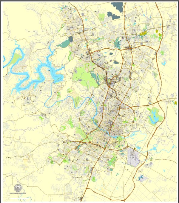
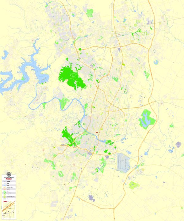
Austin, Texas, had a transportation system that included various modes of transportation to meet the needs of residents and visitors. Here’s an overview of the transportation system in Austin:
- Public Transportation:
- Capital Metro: The primary public transportation agency serving Austin is Capital Metro. It operates a bus network that covers a significant portion of the city and surrounding areas. Additionally, Capital Metro operates the MetroRail commuter train service, which connects downtown Austin to the northern suburbs.
- Biking:
- Austin has an extensive network of bike lanes and bike-friendly streets. The city encourages cycling and has implemented bike-sharing programs and bike-friendly infrastructure.
- Walking:
- The city has been working on improving pedestrian infrastructure, especially in downtown Austin and around popular areas.
- Ride-Sharing and Taxis:
- Services like Uber and Lyft were operating in Austin as of my last update. However, regulations and availability may have changed since then.
- Scooters:
- Electric scooters are a popular mode of transportation for short trips in Austin. Several companies operate shared electric scooter services in the city.
- Car Rentals and Car-Sharing:
- Various car rental agencies and car-sharing services like Zipcar were available in Austin. Check the latest options and availability if you need a rental or car-sharing service.
- Highways and Roads:
- Austin is served by several major highways, including I-35, I-83, and MoPac Expressway (Loop 1). These highways connect Austin to other parts of Texas and the United States.
- Airport:
- Austin-Bergstrom International Airport (AUS) is the city’s primary airport, providing domestic and limited international flight options.
- Rail Transport:
- In addition to the MetroRail commuter train, Austin is served by Amtrak’s Texas Eagle route, connecting the city to other major Texas cities and cities beyond Texas.
- Future Developments:
- Austin was working on improving its public transportation infrastructure with initiatives like Project Connect, which aimed to expand the transit system with new rail lines and additional bus routes.


 Author: Kirill Shrayber, Ph.D. FRGS