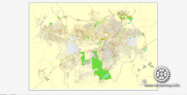
Ankara, the capital city of Turkey, has a rich and diverse history that spans millennia. The city has been inhabited by various civilizations, each of which has left its mark on its culture and architecture. Here’s a brief overview of the history of Ankara:
- Ancient Period:
- Ankara’s history dates back to the Bronze Age, making it one of the oldest continuously inhabited cities in the world.
- The city was known as Ancyra in antiquity and was initially founded by the Hittites around 1200 BC.
- It later became a Phrygian city and was named Gordium, known for the legendary “Gordian Knot” associated with Alexander the Great.
- Roman and Byzantine Era:
- In the 3rd century BC, Ancyra became part of the Roman Empire and was renamed Ancyra.
- During this period, the city thrived as a regional administrative and trade center.
- Ancyra was known for its Temple of Augustus and the Monumentum Ancyranum, a famous inscription that detailed the achievements of Emperor Augustus.
- Medieval Period:
- In the 7th century AD, Ankara was captured by the Arabs and later by the Byzantines.
- It was a battleground in the Arab-Byzantine wars.
- In 1071, the Battle of Manzikert took place near Ankara, leading to the Seljuk Turks’ conquest of Anatolia.
- Seljuk and Ottoman Period:
- In the 12th century, the Seljuk Turks made Ankara an important trade and cultural center.
- The city changed hands several times between the Seljuks and the Crusaders.
- In the early 14th century, the city was captured by the Ottomans and became part of the expanding Ottoman Empire.
- Modern Era:
- After World War I and the fall of the Ottoman Empire, Ankara was chosen as the capital of the newly established Republic of Turkey in 1923.
- The city underwent significant development and urbanization during the leadership of Mustafa Kemal Atatürk, the founder of modern Turkey.
- Ankara’s transformation into a modern capital city involved the construction of government buildings, universities, and infrastructure.
Today, Ankara is a dynamic and bustling city, known for its government institutions, universities, and cultural heritage. The historical remnants of the city’s past can still be explored, including Roman ruins, Byzantine-era churches, and Ottoman-era architecture. The city serves as a symbol of Turkey’s modernization and progress while retaining a connection to its ancient roots.


 Author: Kirill Shrayber, Ph.D. FRGS