Alabama Geography
Latitude/Longitude Latitude: 30° 13′ N to 35° N
Longitude: 84° 51′ W to 88° 28′ W
Greatest distances 329 miles: north to south
210 miles: west to east
Geographic center
Disclaimer The geographic center of Alabama is located in Chilton County, 12 miles southwest of Clanton.
Latitude: 32° 50.5’N
Longitude: 86° 38.0’W
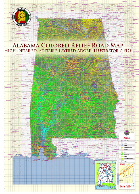
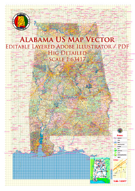
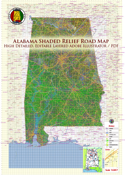
Borders Alabama is bordered by Tennessee on the north, Georgia on the east, Florida and the Gulf of Mexico on the south and Mississippi on the west.
Total area Alabama covers approximately 52,423 square miles, ranking it 30th among the 50 states.
Land area Approximately 50,750 square miles of Alabama are land areas.
Water area Approximately 1,673 square miles of Alabama are covered by water.
Coastline Approximately 53 miles.
Highest point The highest point in Alabama is Cheaha Mountain, at 2,407 feet above sea level. The name is from the Creek Indian word meaning “high place.”
Lowest point The lowest point in Alabama is Gulf of Mexico.
Mean elevation Between the highest point and the lowest point in Alabama, the mean elevation of the state of is 500 feet above sea level.
Major rivers Great Seal of the State of Alabama.
Major lakes Guntersville Lake, Wilson Lake, Lake Martin, West Point Lake, Lewis Smith Lake.
Source: https://www.netstate.com/states/geography/al_geography.htm


 Author: Kirill Shrayber, Ph.D. FRGS