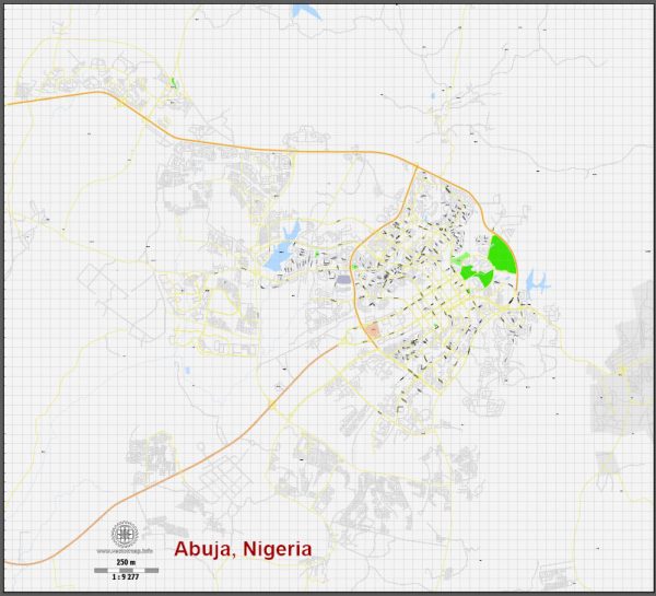
Abuja is the capital city of Nigeria. It is located in the central part of the country, within the Federal Capital Territory. Abuja became the capital of Nigeria in 1991, replacing Lagos, which had served as the capital since the country gained independence from British colonial rule in 1960.
Abuja is known for its modern infrastructure and well-planned layout. It is home to various government offices, foreign embassies, and international organizations. Some of the notable landmarks in Abuja include Aso Rock, the Nigerian Presidential Complex, the National Mosque, and the National Christian Centre.
The city was chosen as the capital of Nigeria to promote decentralization, as Lagos was becoming overcrowded and lacked the necessary infrastructure for a capital city. Abuja was purposefully developed to serve as the administrative and political center of Nigeria, while Lagos remained the country’s economic hub.
Abuja is known for its clean and orderly streets, as well as its role in Nigerian politics and government. It is an important city in the West African region and plays a significant role in the country’s governance and international relations.


 Author: Kirill Shrayber, Ph.D.