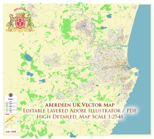
Aberdeen is a historic city in Scotland, located in the northeastern part of the country, along the North Sea coast. It is known for its rich history and cultural heritage, with a history dating back over 8,000 years. Here is a brief description of the history of Aberdeen, UK:
- Early History: The area around Aberdeen has been inhabited for thousands of years. In ancient times, it was home to Picts, a Celtic people, and their influence is still visible in the region’s historical sites.
- Medieval Period: Aberdeen’s history as a town dates to at least the 12th century when it received a royal charter from King David I. It was originally a fishing and trading village.
- The Granite City: Aberdeen’s nickname, the “Granite City,” comes from the extensive use of gray granite in its buildings. In the 18th and 19th centuries, the city experienced a construction boom, and many of its iconic buildings and landmarks were built from locally quarried granite.
- Trade and Industry: Aberdeen has a strong maritime heritage. It was a major fishing port and trading center for centuries, and the city’s harbor played a significant role in its economic development.
- University of Aberdeen: Founded in 1495, the University of Aberdeen is one of the oldest universities in the English-speaking world. It has been a hub of education and culture in the region for centuries.
- Oil Industry: In the 20th century, Aberdeen became known as the “Oil Capital of Europe” due to the discovery of significant offshore oil reserves in the North Sea. This discovery led to a boom in the local economy and the growth of the oil and gas industry.
- Culture and Arts: Aberdeen has a vibrant cultural scene with several theaters, museums, and galleries. The city hosts various festivals and events, showcasing its cultural diversity and heritage.
- Historic Landmarks: Some of the city’s historic landmarks include the Aberdeen Maritime Museum, St. Machar’s Cathedral, King’s College Chapel, and the Castlegate, a historic square in the city center.
- Modern Aberdeen: Today, Aberdeen is a thriving and cosmopolitan city known for its oil and gas industry, world-class research institutions, and its role as a major economic center in Scotland.
Aberdeen’s history is deeply rooted in its maritime and industrial heritage, and it continues to evolve as a dynamic and culturally rich city in the United Kingdom. Its historical significance, combined with its modern development, makes it a fascinating place to explore.


 Author: Kirill Shrayber, Ph.D. FRGS