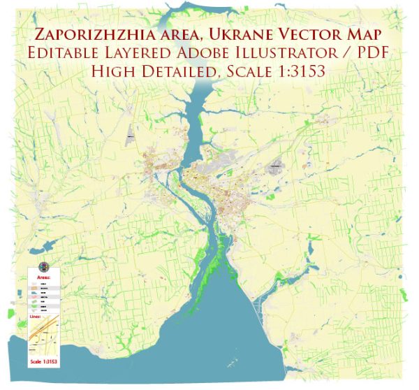
Zaporizhzhia, also spelled Zaporizhia or Zaporozhye, is a city in southeastern Ukraine, situated on the Dnieper River. As of my last knowledge update in September 2021, it was one of the largest cities in Ukraine and served as the administrative center of the Zaporizhzhia Oblast (province). Here are some key facts and information about Zaporizhzhia:
- Historical Significance: Zaporizhzhia has a rich historical heritage and is closely associated with the Cossacks. It was a key center for Cossack culture and history. The Cossacks played a significant role in the region’s history, particularly during the 16th and 17th centuries.
- Economy: Zaporizhzhia is an important industrial and economic hub in Ukraine. It is known for its heavy industry, including steel production, energy generation, and the automotive industry. The city is home to several major industrial enterprises, including the Zaporizhstal steel plant.
- Tourism: The city has some historical and cultural attractions, including museums, parks, and monuments. The Khortytsia Island, located on the Dnieper River near Zaporizhzhia, is an important historical and natural site. It was a significant center for Cossack activities and is a popular destination for tourists interested in the history and culture of the Cossacks.
- Dnieper Hydroelectric Station: Zaporizhzhia is known for its Dnieper Hydroelectric Station, one of the largest hydroelectric power plants in Europe. The dam and reservoir are not only crucial for electricity generation but also offer recreational opportunities.
- Transportation: The city is well-connected by road, rail, and river transportation. It is an important transportation hub in the region.
- Administrative Status: Zaporizhzhia is the administrative center of the Zaporizhzhia Oblast (province). The city is divided into several administrative districts.


 Author: Kirill Shrayber, Ph.D. FRGS