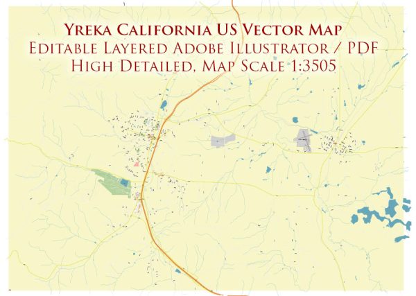
Yreka is a city located in Siskiyou County, California, United States. Here are some key details about Yreka:
- Location: Yreka is situated in the northern part of California, near the Oregon border. It’s part of the region known as the Shasta Cascade, which is known for its natural beauty and outdoor recreational opportunities.
- County: Yreka is the county seat of Siskiyou County, which is known for its rugged terrain, forests, and numerous outdoor activities.
- History: Yreka has a rich history dating back to the Gold Rush era of the 1850s. The city’s name is believed to be derived from the Shasta Indian word “wáik’a,” which means “white mountain,” referring to nearby Mount Shasta. Yreka became an important stop for travelers and miners during the Gold Rush.
- Economy: Yreka’s economy has traditionally been tied to agriculture and forestry, although it has diversified in recent years. Tourism is also a significant part of the local economy due to the city’s proximity to outdoor recreational opportunities, including hiking, fishing, and snow sports.
- Points of Interest: Yreka offers several points of interest for visitors, including the Siskiyou County Museum, the historic Siskiyou County Courthouse, and Greenhorn Park. Additionally, the nearby Klamath National Forest and the majestic Mount Shasta provide numerous opportunities for outdoor enthusiasts.
- Transportation: Yreka is accessible by road via Interstate 5, which runs through the area, providing easy access to other parts of California and Oregon.
- Population: The population of Yreka can vary, but as of my last knowledge update in September 2021, it was a relatively small city. For the most up-to-date demographic information, you may want to refer to the latest census data or local sources.


 Author: Kirill Shrayber, Ph.D. FRGS