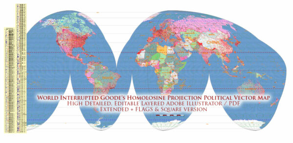
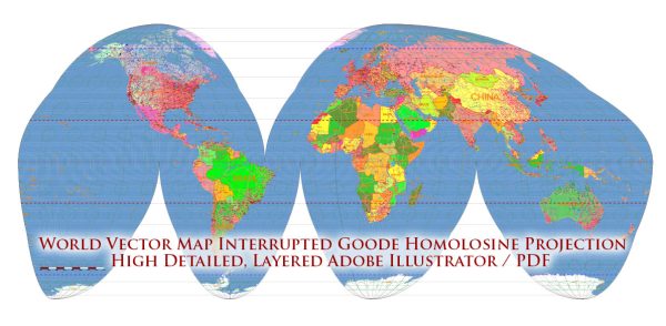
Goode’s Homolosine projection, also known as the Goode’s Interrupted Homolosine projection or simply the Goode’s projection, is a pseudocylindrical, equal-area map projection that was developed by John Paul Goode in 1923. It is designed to minimize distortion in the representation of the world’s landmasses while also reducing the characteristic distortions associated with other map projections.
Key features and characteristics of Goode’s Homolosine projection:
- Equal Area: One of the primary features of this projection is that it preserves the relative size of areas on the Earth’s surface. In other words, it accurately represents the true proportions of land masses, making it an equal-area projection.
- Interrupted Projection: Goode’s Homolosine projection is an interrupted projection, meaning that the map is divided into several segments. These segments are typically connected in an east-west direction, which reduces distortion in the polar regions and allows for a more accurate portrayal of the world.
- Minimal Distortion: While no map projection can eliminate all forms of distortion, Goode’s Homolosine minimizes distortion in both shape and area. Distortion is relatively low in the equatorial region but increases towards the poles.
- Oval Shape: This projection creates a series of ovals, or “lobes,” to represent the Earth’s major landmasses. The projection is interrupted at these points to reduce distortion.
- Equatorial Aspect: The equatorial region of Goode’s projection is accurate and less distorted compared to other parts of the map. This is particularly useful when displaying data or making comparisons related to the equator.
- Applicability: Goode’s Homolosine projection is often used in thematic maps, where preserving the size of geographic regions is essential. It is not typically used for navigation, as it does not maintain straight lines or true directions.
- World Maps: This projection is well-suited for world maps that aim to provide an accurate representation of land areas, population distributions, or other spatial data, while minimizing distortion.
- Interrupted Ovals: The individual oval sections of Goode’s projection are interrupted and reassembled, which can create a somewhat unusual appearance on world maps. The interruptions are necessary to achieve the equal-area characteristic.
In summary, Goode’s Homolosine projection is an equal-area map projection that minimizes distortion by interrupting and reassembling the world map in a series of ovals. It is particularly useful for thematic mapping applications where maintaining accurate area representation is important.


 Author: Kirill Shrayber, Ph.D.