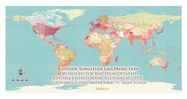
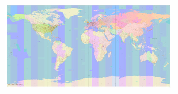
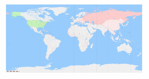
City Map World Geo Lat-Long

Map — World Geo Lat Long

A clean map of World Geo Lat Long with named layers and consistent geometry for fast cartographic work. Coordinates and scales are prepared for sheet production and consistent exports. Typography spacing is tuned for quick reading on posters, brochures and reports. Bridges, tunnels and ferry lines are isolated so routes remain legible after recolor. The file accepts custom grids, legends and callouts without redrawing base content. Layer structure separates arterials and locals, districts, hydrography, parks and landmarks.

Saves prepress time by reducing manual fixes and keeping the visual system consistent. Use it for visitor guides, city infographics, investment decks and municipal communications. Color systems can be swapped quickly to match seasonal or brand variants. Editors can brand the palette and icons, then export sharp results for both print and web. Files remain compact thanks to clean geometry and disciplined labeling.

A map of the world using latitude and longitude coordinates would typically be presented on a globe or a spherical projection. The Earth is a three-dimensional sphere, so representing it accurately on a two-dimensional map inevitably involves some distortion. Nevertheless, latitude and longitude are the most commonly used coordinates for mapping the Earth’s surface.

In this representation, you can see the Equator (0° latitude), the Prime Meridian (0° longitude), and the lines of latitude and longitude that crisscross the globe. Latitude lines run east-west and measure how far north or south a location is from the Equator, with the North Pole at 90° N and the South Pole at 90° S. Longitude lines run north-south and measure how far east or west a location is from the Prime Meridian, with the International Date Line on the opposite side of the Earth at 180° E/W.

In reality, maps of the world based on latitude and longitude are typically created using various map projections to display the spherical Earth on a flat surface. Some common map projections that use latitude and longitude include the Mercator projection and the Mollweide projection. These projections aim to minimize distortion in different ways, depending on their intended use.

Author: Kirill Shrayber, Ph.D.

I have been working with vector cartography for over 25 years, including GPS, GIS, Adobe Illustrator and other professional cartographic software.
Linkedin: https://www.linkedin.com/in/kirill-shrayber-0b839325/
Twitter: https://twitter.com/vectormapper

Are we missing some maps? Let us know!!!
What map do you need?

    We will upload it within the next 24 hours and notify you by Email.

    Menu