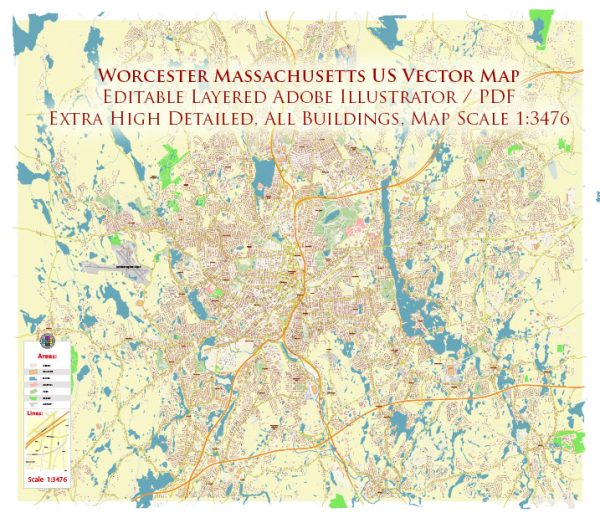
Worcester is a city located in the state of Massachusetts in the United States. It is the second-largest city in Massachusetts, after Boston, and is known for its historical significance, diverse culture, and educational institutions. Here’s some basic information about Worcester:
- Location: Worcester is located in central Massachusetts, approximately 40 miles west of Boston. It is situated in Worcester County, which is the namesake of the city.
- History: Worcester has a rich history, playing a significant role in the early days of the United States. It was a center for manufacturing and industry during the 19th century and was known for its contributions to the industrial revolution.
- Education: The city is home to several colleges and universities, including Worcester Polytechnic Institute (WPI) and the College of the Holy Cross, which contribute to its vibrant academic community.
- Culture: Worcester has a diverse and vibrant cultural scene. It hosts numerous cultural events, museums, and theaters. The city’s art, music, and food scenes are quite lively.
- Economy: The economy of Worcester has evolved from manufacturing to a more diverse mix of industries, including healthcare, education, and technology. The healthcare sector, in particular, is a major contributor to the local economy.
- Healthcare: Worcester is known for its world-class healthcare facilities, including UMass Memorial Medical Center, which is one of the largest healthcare systems in the region.
- Transportation: Worcester is well-connected by road, with Interstate 290 passing through the city. It also has a train station served by Amtrak and the MBTA commuter rail, providing transportation to Boston and other major cities.
- Points of Interest: Some notable attractions in Worcester include the Worcester Art Museum, Mechanics Hall, EcoTarium (a science and nature museum), and the Hanover Theatre for the Performing Arts.
Worcester is a city with a diverse and growing community and a rich history that continues to shape its character. It offers a mix of urban amenities and a suburban feel, making it an attractive place to live and work in Massachusetts.


 Author: Kirill Shrayber, Ph.D. FRGS