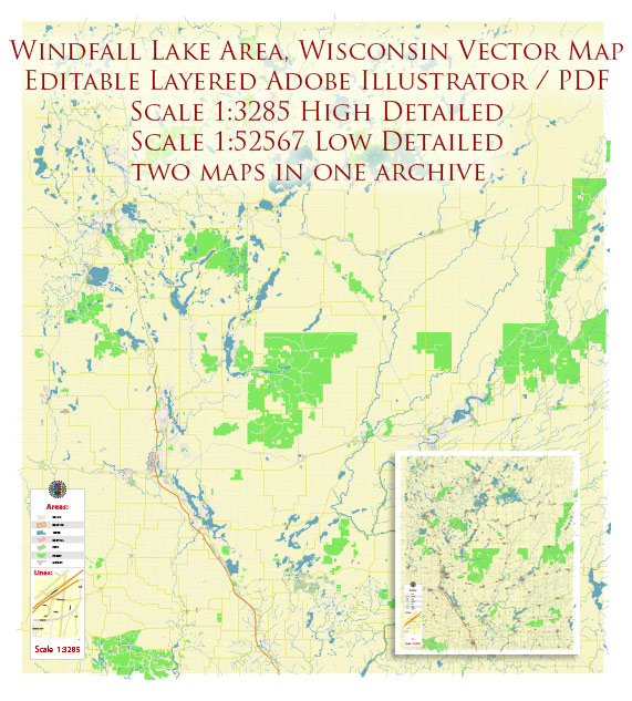
Windfall Lake is a relatively small and secluded lake located in northern Wisconsin, in Vilas County. It’s known for its natural beauty and the opportunities it offers for outdoor activities like fishing, boating, and hiking. The exact details and access points to Windfall Lake may change over time, so if you plan to visit or need specific information about the area, I recommend checking with local authorities, a map, or a website that provides information about recreational areas in Wisconsin for the most up-to-date and accurate information.
Map — Windfall Lake Wisconsin US
An editable map of Windfall Lake Wisconsin US designed as a dependable base for print and digital layouts. Crisp vectors preserve edges at high DPI and export compactly for web delivery. Bridges, tunnels and ferry lines are isolated so routes remain legible after recolor. Named layers let you restyle colors, line weights and label classes without cleanup passes. The file accepts custom grids, legends and callouts without redrawing base content. Contours and landuse layers can be toggled to match tourism or planning use cases.
Saves prepress time by reducing manual fixes and keeping the visual system consistent. Ideal for signage, event maps, campus leaflets and waterfront brochures. The map integrates neatly with common DTP and GIS workflows. Keeps labels readable while allowing deep customization of routes and highlights. Files remain compact thanks to clean geometry and disciplined labeling.


 Author: Kirill Shrayber, Ph.D. FRGS