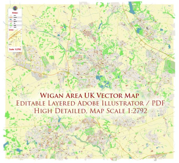
Wigan is a town in Greater Manchester, England, United Kingdom. It is located in the northwest part of England, approximately 16 miles west of Manchester city center. Wigan is historically known for its industrial heritage, particularly its coal mining and textile industries.
Some notable features and attractions in Wigan include:
- Wigan Pier: Wigan Pier is a famous location that gained prominence through George Orwell’s book “The Road to Wigan Pier.” While the original pier was associated with coal mining and industry, it has since been redeveloped as a cultural and heritage area.
- DW Stadium: The DW Stadium is a sports stadium in Wigan, primarily used for football (soccer) and rugby. It is the home of Wigan Athletic Football Club and Wigan Warriors Rugby League Club.
- Trencherfield Mill Steam Engine: This historic steam engine, located in Wigan, is one of the largest working mill steam engines in the world. It offers a glimpse into the region’s industrial history.
- Wigan Town Centre: Wigan’s town center features a range of shops, restaurants, and cultural attractions. It is a vibrant hub for shopping and leisure activities.
- Wigan Parish Church: This ancient church, also known as All Saints’ Church, is a prominent landmark in Wigan. It has a rich history dating back to the 13th century.
- Haigh Hall: Located just outside Wigan, Haigh Hall is a historic country house set in beautiful parkland. Visitors can explore the park, woodlands, and enjoy the scenic surroundings.
Wigan is also well-connected to the broader Greater Manchester area, making it an accessible destination for both visitors and commuters. The town has seen significant changes in recent years as it has transitioned from its industrial past to a more diverse economy with a focus on retail, services, and leisure activities.


 Author: Kirill Shrayber, Ph.D. FRGS