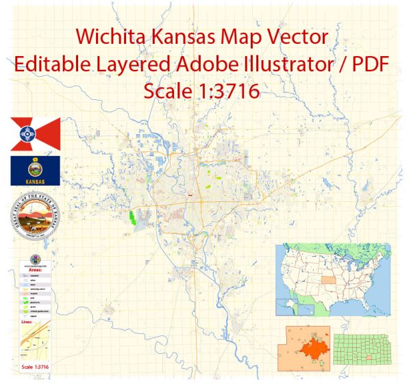
Wichita is the largest city in the U.S. state of Kansas. It is located in the south-central part of the state and is often referred to as the “Air Capital of the World” because it has a strong presence in the aviation industry, with several major aircraft manufacturers and suppliers located in the area.
Wichita is known for its diverse economy, with industries such as manufacturing, healthcare, education, and agriculture playing significant roles in the local economy. The city is home to Wichita State University and has a rich cultural scene, featuring museums, theaters, and a variety of cultural events.
The city’s climate is characterized by hot summers and cold winters, with a range of outdoor activities available in the region, including parks, rivers, and recreational areas for residents and visitors to enjoy. Wichita also has a number of historical and cultural attractions, such as the Old Cowtown Museum, Exploration Place, and the Keeper of the Plains, a famous public art installation at the confluence of the Arkansas and Little Arkansas rivers.
Wichita is a major transportation hub in the region, with a well-developed road network and an airport, Wichita Dwight D. Eisenhower National Airport, providing domestic and international air travel services.


 Author: Kirill Shrayber, Ph.D. FRGS