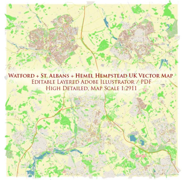
Watford, St Albans, and Hemel Hempstead are all towns located in Hertfordshire, United Kingdom, which is a county in the East of England. Here’s a brief overview of each of these towns:
- Watford:
- Watford is a town and borough in Hertfordshire, England.
- It is situated approximately 17 miles northwest of Central London.
- Watford is known for its shopping and commercial areas, including the popular Intu Watford shopping center.
- The town is also home to Watford FC, a professional football club that competes in the English Football League.
- St Albans:
- St Albans is a historic city located in Hertfordshire, England.
- It is situated about 20 miles north of Central London.
- St Albans has a rich history, with Roman remains and a medieval cathedral, St Albans Cathedral, which is a popular tourist attraction.
- The city is known for its charming streets, parks, and cultural events.
- Hemel Hempstead:
- Hemel Hempstead is a town in Hertfordshire, situated around 24 miles northwest of Central London.
- It is a planned new town that developed after World War II and has a mix of residential, commercial, and industrial areas.
- The town is known for its “Magic Roundabout,” a complex traffic interchange.
- Hemel Hempstead offers various amenities, including shopping centers, parks, and recreational facilities.
These towns are all part of the Greater London commuter belt, making them popular residential areas for people working in London or nearby cities. They each have their own unique characteristics and attractions, and they are well-connected to London by both road and rail.


 Author: Kirill Shrayber, Ph.D. FRGS