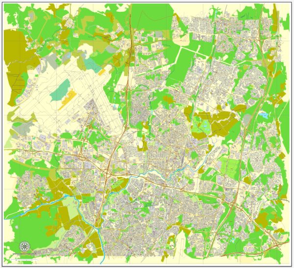
Vantaa is a city located in southern Finland, and it is part of the Greater Helsinki metropolitan area. As of my last knowledge update in September 2021, Vantaa is the fourth most populous city in Finland and is known for its proximity to the capital city, Helsinki. Here are some key points about Vantaa:
- Location: Vantaa is situated in the Uusimaa region of southern Finland, and it borders the capital city, Helsinki, to the south and east. It is also adjacent to the city of Espoo to the west.
- Helsinki-Vantaa Airport: Vantaa is home to Helsinki-Vantaa Airport, the largest and busiest international airport in Finland. The airport serves as a major gateway for travelers coming to and from Finland.
- Cultural Attractions: Vantaa is home to several cultural and historical attractions, including the Finnish Aviation Museum, the Heureka Science Centre, and the Jumbo shopping center.
- Nature and Parks: The city offers various parks and green spaces for residents and visitors to enjoy, such as Kuusijärvi, a popular recreational area with a lake for swimming and outdoor activities.
- Education: Vantaa has numerous schools and educational institutions, making it a well-rounded place for families to live.
- Public Transportation: Vantaa is well-connected to the greater Helsinki area through public transportation, including bus and commuter train services.
- Economy: Vantaa has a diverse economy with a mix of industries, including logistics and trade due to its proximity to the airport. Companies like Finnair have their headquarters in the city.


 Author: Kirill Shrayber, Ph.D.