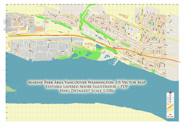
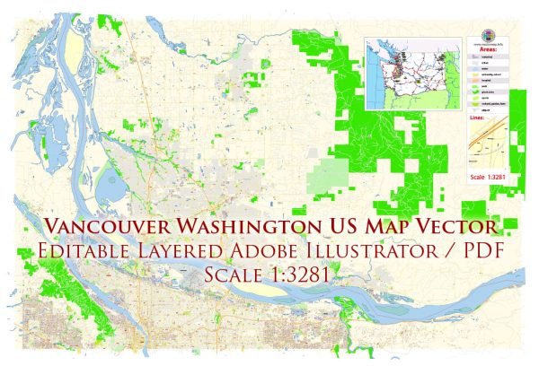
Vancouver is a city located in the state of Washington in the United States. It is often confused with Vancouver, Canada, which is a separate city located just across the border in British Columbia. Here are some key points about Vancouver, Washington:
- Location: Vancouver is situated in the southwestern part of the state of Washington, along the banks of the Columbia River. It is part of the Portland-Vancouver metropolitan area and is located directly across the river from Portland, Oregon.
- History: Vancouver has a rich history and was one of the earliest settlements in the Pacific Northwest. It was established in the 1820s as a fur trading post by the Hudson’s Bay Company and was originally named Fort Vancouver. The city’s name is derived from this historical fort.
- Population: Vancouver, Washington, has a diverse population and is known for its growing urban area. It’s one of the largest cities in Washington State.
- Economy: The economy of Vancouver is closely tied to the Portland metropolitan area. Many residents of Vancouver work in Portland, but the city also has its own businesses and industries, including manufacturing, technology, healthcare, and education.
- Education: Vancouver is home to Washington State University’s Vancouver campus and is known for its educational institutions. It’s also part of the Evergreen School District and Vancouver Public Schools.
- Outdoor Recreation: The area around Vancouver offers numerous opportunities for outdoor activities, including hiking, biking, and water sports. There are also several parks, including Vancouver Lake Regional Park and the Ridgefield National Wildlife Refuge.
- Cultural Attractions: Vancouver has a variety of cultural attractions, including museums, art galleries, and historic sites, such as Fort Vancouver National Historic Site.
- Transportation: Vancouver is well-connected to Portland via several bridges that span the Columbia River. The city is also served by public transportation options, including buses and light rail, which connect it to the larger Portland metropolitan area.
It’s important to note that Vancouver, Washington, should not be confused with Vancouver, British Columbia, Canada, which is a major city located about 300 miles to the north.


 Author: Kirill Shrayber, Ph.D. FRGS