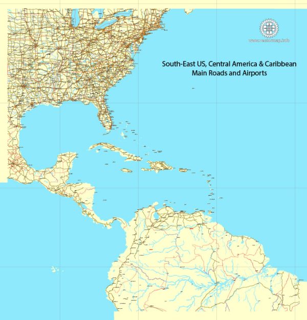
The term “US South-East” typically refers to the southeastern region of the United States. This region is known for its unique culture, geography, and history. It includes the following states:
- Alabama
- Arkansas
- Florida
- Georgia
- Kentucky
- Louisiana
- Mississippi
- North Carolina
- South Carolina
- Tennessee
- Virginia
- West Virginia
The U.S. Southeast is known for its warm climate, beautiful coastline, and a mix of urban and rural areas. It is culturally diverse, with influences from Native American, African, European, and Caribbean traditions. The region is also known for its agriculture, including crops like cotton, tobacco, and citrus fruits, as well as its significant role in the history of the United States, particularly during the American Civil War.
Major cities in the U.S. Southeast include Atlanta (Georgia), Miami (Florida), Charlotte (North Carolina), New Orleans (Louisiana), and many others. The region is also a popular destination for tourists, offering a wide range of outdoor activities, historic sites, and a rich culinary tradition, including Southern cuisine.


 Author: Kirill Shrayber, Ph.D. FRGS