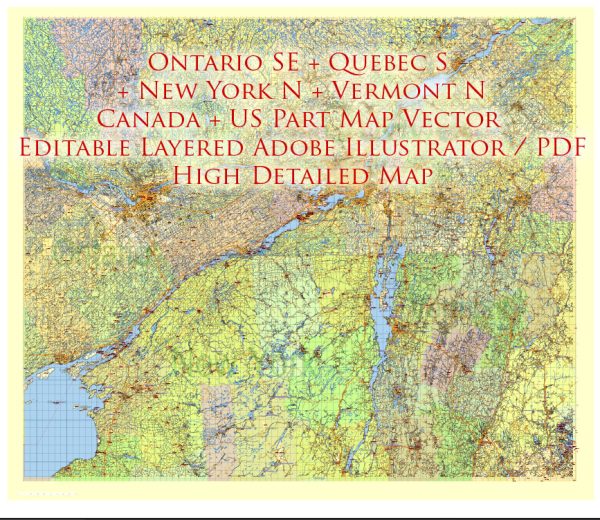
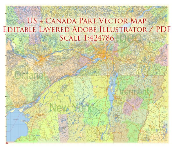
The U.S. Northeast, often referred to simply as the “Northeast,” is a region in the northeastern part of the United States. It is known for its rich history, diverse culture, and a variety of landscapes. The Northeastern states typically include:
- Maine
- New Hampshire
- Vermont
- Massachusetts
- Rhode Island
- Connecticut
- New York
- New Jersey
- Pennsylvania
The Northeast is known for its prominent cities, including New York City, Boston, Philadelphia, and Washington, D.C. (which is sometimes considered part of the region). Each state in the Northeast has its own unique characteristics and attractions. For example, Massachusetts is famous for its historical sites, such as Plymouth Rock and the Freedom Trail in Boston, while Vermont is known for its scenic beauty, including the Green Mountains.
The Northeast is also home to many prestigious universities and colleges, cultural institutions, and a diverse range of industries, from finance and technology in New York City to biotech and healthcare in Boston.
The region experiences all four seasons, with cold winters and warm summers. It is known for its vibrant fall foliage, particularly in states like Vermont and New Hampshire.
The Northeastern U.S. plays a crucial role in the nation’s history and economy and offers a wide range of experiences for residents and visitors, from outdoor recreational activities in its national parks to the bustling urban life of its major cities.
Canada’s Southeast, often referred to as Eastern Canada, is a region in the eastern part of the country. It is one of the most populous and economically significant regions in Canada and includes the following provinces:
- Ontario: Ontario is the most populous province in Canada and is home to the capital city, Ottawa, and the country’s largest city, Toronto. It is known for its diverse population, economic importance, and cultural attractions.
- Quebec: Quebec is the second most populous province and is known for its unique French-speaking culture. The city of Montreal, in particular, is a major cultural and economic center.
- New Brunswick: New Brunswick is one of the four Atlantic provinces and is known for its beautiful natural landscapes, including forests, rivers, and the Bay of Fundy, which has the highest tides in the world.
- Prince Edward Island: Often referred to as PEI, this province is Canada’s smallest in terms of both land area and population. It is known for its stunning coastal scenery and as the setting for the classic novel “Anne of Green Gables.”
- Nova Scotia: Nova Scotia, located on the eastern coast, is known for its rich maritime history, beautiful coastline, and historic cities like Halifax.
This region is characterized by a diverse range of landscapes, including forests, lakes, rivers, and a significant portion of Canada’s Atlantic coastline. It has a rich cultural heritage, with influences from both Indigenous peoples and European settlers.
Eastern Canada experiences distinct seasons, with cold winters and warm summers. The region offers a wide range of cultural and recreational activities, from exploring historical sites and museums to enjoying outdoor activities like hiking, skiing, and water sports.
Eastern Canada is also home to a significant portion of Canada’s population and economy, with major industries including manufacturing, technology, finance, and natural resources. It’s a region that combines urban vibrancy with natural beauty and a strong sense of cultural identity.


 Author: Kirill Shrayber, Ph.D.